The TransAmerica Bike Trail: route, sections and when to ride
See how the crossing from Oregon to Virginia breaks down, what the weather does each month, and which way the wind favours.
The short answer
The TransAmerica Bike Trail is the Adventure Cycling Association's 6,767 km (4,205-mile) road route from Astoria, Oregon, to Yorktown, Virginia, through ten states. Most riders take about three months between May and September. It crosses the Cascades, the Rockies at 3,518 m (11,542 ft) on Hoosier Pass, the Kansas plains, the Ozarks and the Appalachians.
Key takeaways
- The route runs 6,767 km (4,205 miles), mostly on paved two-lane roads, over about three months.
- The official season is May to September, but snow can fall in the Rockies in any month.
- July and August were the calmest months, with gusty days only 1–2% of the time.
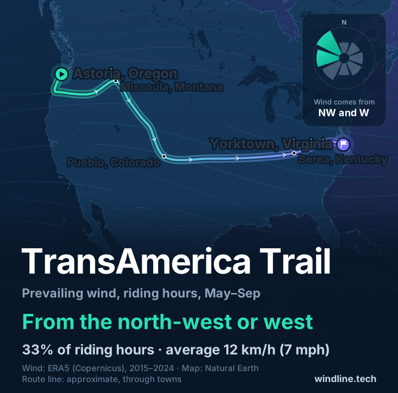
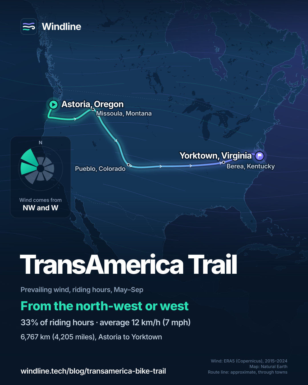
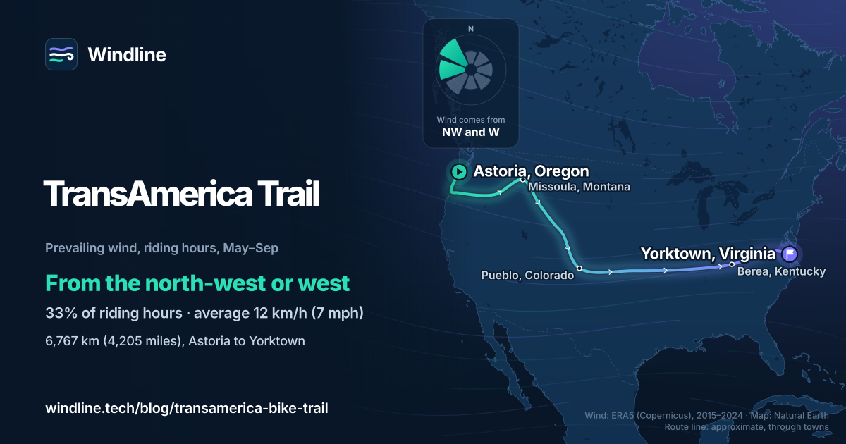
- From May to September the wind came most often from the north-west or west, slightly favouring eastbound riders.
Definitions
- Bikecentennial
- The 1976 coast-to-coast ride, marking the United States' 200th birthday, for which the TransAmerica Trail was first mapped.
- US Bicycle Route 76
- The national numbered bike route that shares much of the TransAmerica line and is signposted in some states.
What is the TransAmerica Bike Trail?
The TransAmerica Bike Trail is a coast-to-coast road route across the United States, from the Pacific at Astoria, Oregon, to Chesapeake Bay at Yorktown, Virginia. It's one of North America's most popular cycling tours and the world's great cycling routes.
It was first mapped for Bikecentennial, the 1976 ride for the country's 200th birthday, which drew about 4,000 cyclists. The Adventure Cycling Association (ACA) still publishes its maps.
| Fact | Detail |
|---|---|
| Length | 6,767 km (4,205 miles) |
| States | Ten: Oregon, Idaho, Montana, Wyoming, Colorado, Kansas, Missouri, Illinois, Kentucky, Virginia |
| Usual time | About three months |
| Surface | Mostly paved two-lane roads, many without shoulders; short gravel stretches |
| Signage | US Bicycle Route 76 signs in some states; navigate by map |
| Highest point | Hoosier Pass, Colorado, 3,518 m (11,542 ft) |
| Best months | May to September |
What are the main sections of the route?
The ACA splits the route into 12 map sections, which fall into seven stretches.
| Stretch | ACA sections | Length, km (miles) | What it's like |
|---|---|---|---|
| Astoria to Baker City, Oregon | 1–2 | 910 (566) | Coast, Willamette Valley, McKenzie Pass, dry plateau |
| Baker City to Missoula, Montana | 3 | 657 (408) | Hells Canyon, Idaho's rivers, Lolo Pass |
| Missoula to Rawlins, Wyoming | 4–5 | 1,094 (680) | Yellowstone, Grand Teton, open basins |
| Rawlins to Pueblo, Colorado | 6 | 627 (390) | The Rockies and Hoosier Pass |
| Pueblo to Girard, Kansas | 7–8 | 988 (614) | The plains: flat, hot, exposed |
| Girard to Berea, Kentucky | 9–10 | 1,306 (811) | The Ozarks, the Mississippi and Ohio rivers |
| Berea to Yorktown, Virginia | 11–12 | 1,185 (736) | The Appalachians, the Blue Ridge Parkway, Tidewater |
The ACA calls the Rocky Mountain passes long but not steep; the Ozarks and Appalachians climb in short, steep pitches, and Virginia has the most total climbing of any state. To set your daily distance, see how far you can cycle in a day.
Want this for your own route? Windline shows the wind for every stretch, timed to your pace. Free. Make a free ride page →
What's the weather like through the year?
Summer is the calmest and driest time on the route, which is why the ACA's May-to-September season is shaded below.
Weather across the year on the TransAmerica Bike Trail, 2015–2024
| Month | Wind from | Average wind, km/h (mph) | Gusty days | Start → high, °C (°F) | Wet days |
|---|---|---|---|---|---|
| Jan | ~Changeable | 14 (9) | 15% | 2° (36°) → 8° (46°) | 38% |
| Feb | W, SW | 14 (9) | 13% | 3° (37°) → 9° (48°) | 40% |
| Mar | SW, W | 14 (9) | 16% | 6° (42°) → 13° (55°) | 36% |
| Apr | W, SW | 15 (9) | 15% | 9° (49°) → 16° (61°) | 36% |
| May | ~Changeable | 13 (8) | 8% | 14° (57°) → 20° (68°) | 33% |
| Jun | NW, W | 12 (8) | 5% | 19° (65°) → 25° (77°) | 29% |
| Jul | NW, W | 11 (7) | 1% | 21° (69°) → 27° (81°) | 28% |
| Aug | NW, W | 11 (7) | 2% | 20° (68°) → 27° (80°) | 26% |
| Sep | ~Changeable | 12 (8) | 5% | 17° (63°) → 24° (76°) | 26% |
| Oct | ~Changeable | 13 (8) | 9% | 12° (53°) → 19° (65°) | 28% |
| Nov | ~Changeable | 13 (8) | 11% | 7° (44°) → 13° (55°) | 34% |
| Dec | ~Changeable | 13 (8) | 14% | 3° (38°) → 9° (48°) | 37% |
July and August averaged 11 km/h (7 mph) of wind, with gusty days only 1–2% of the time and wet days 26–28%. Mornings warm from 14°C (57°F) at 08:00 in May to 21°C (69°F) in July. May and September winds were changeable in direction. From October to April, gusty days rise to 9–16% and wet days to 28–40%.
Three points smooth out the extremes: the ACA warns of fierce heat in the Snake River canyon and snow in the Rockies in any month.
Which way should you ride it?
West to east, slightly, if wind decides it. From May to September, riding-hour wind came most often from the north-west or west (33% of hours), averaging 12 km/h (7 mph), and only 9% of hours from the east.
The ACA adds that passing weather systems and terrain bring headwinds either way. These are averages of past seasons, not a forecast; our east-or-west guide breaks them down by month and state.
How do you get to the start and home from the finish?
By bus to Astoria, and by train from Williamsburg. Visit the Oregon Coast lists two Portland–Astoria buses, the NorthWest POINT and the NW Connector, each about three hours, with bike racks or storage.
Williamsburg, just before Yorktown, has an Amtrak station on the Northeast Regional; Amtrak carries bikes on select trains for a fee, booked with your ticket.
On the road, the ACA says campgrounds often charge $10–20 a night (as of October 2026); many city parks are free. Plan rest and weather days with our multi-day tour guide.
For a shorter end-to-end, try Britain's LEJOG or Europe's Danube Cycle Path.
Frequently asked questions
Is the TransAmerica Bike Trail signposted?
In places. The ACA says US Bicycle Route 76 is signed in Kansas, Missouri, Kentucky and Virginia but not in Illinois, and its own routing doesn't always follow the signed route. It also warns that signs can be damaged, stolen or missing, so carry the ACA's maps or a GPS track.
What is the highest point on the TransAmerica Bike Trail?
Hoosier Pass in Colorado, at 3,518 m (11,542 ft), on the Continental Divide. The ACA says you gain about 460 m (1,500 ft) in the last 16 km (10 miles) to the top. Earlier, McKenzie Pass in Oregon is usually closed by snow until early July, though it may open to cyclists two to four weeks sooner.
Where are services hardest to find on the route?
In the West. The ACA says services from Oregon to Kansas are mostly limited to the towns on the route, so carry extra water. Its longest warning is Lander to Rawlins, Wyoming: 198 km (123 miles) with minimal services. From Missouri to Virginia, food, water and places to stay are plentiful.
Do you have to ride through Yellowstone National Park?
No. The main route crosses Yellowstone and Grand Teton national parks, where the ACA warns of very heavy summer traffic on narrow roads with little or no shoulder. It suggests riding early and stopping between noon and 5 pm. Its 224 km (139-mile) Teton Valley Alternate avoids riding through Yellowstone, and some riders visit the park by car instead.
Get the wind for your ride.
Upload a GPX, add your start time and pace, and see the headwind, gusts, rain and heat for every stretch of the route, timed to when you’ll be there. Free for riders.
Make a free ride page →Sources and method
- Adventure Cycling Association (2026). TransAmerica Trail (overview, riding conditions, terrain and logistics)
- Visit the Oregon Coast (Oregon Coast Visitors Association) (2026). Car-free travel to Astoria
- Amtrak (2026). Discover Williamsburg, Virginia
- Copernicus Climate Change Service (ECMWF) (2026). ERA5 hourly time-series data on single levels from 1940 to present
- Copernicus Climate Change Service (ECMWF) (2026). ERA5 hourly data on single levels from 1940 to present
- Natural Earth (2026). Terms of use (public domain map data)
Route facts are from the Adventure Cycling Association's TransAmerica Trail page (overview, riding conditions, terrain and logistics tabs), read on 10 October 2026: the 4,204.9-mile length, the 12 map sections and their lengths, the May-to-September season, about three months for the crossing, Hoosier Pass at 11,542 ft, signage, services, camping and the Yellowstone advice. The seven stretches in the sections table are our grouping of the ACA's 12 sections, with their lengths added: sections 1–2 = 565.5 miles, 3 = 408.4, 4–5 = 679.8, 6 = 389.5, 7–8 = 613.9, 9–10 = 811.4, 11–12 = 736.4. The ten states are those the ACA's sections pass through. Getting there and away is from Visit the Oregon Coast (Portland–Astoria buses) and Amtrak (Williamsburg station and bikes on trains). Conversions use 1 mile = 1.609 km and 1 m = 3.281 ft, rounded. The weather table and every weather figure in the text are Windline's own analysis of Copernicus ERA5 reanalysis, 1 January 2015 to 31 December 2024, downloaded from the Copernicus Climate Data Store (dataset reanalysis-era5-single-levels-timeseries) for the 0.25° grid cell nearest each of three sample points along the route: Astoria, Oregon; Pueblo, Colorado; and Yorktown, Virginia, with hours and days pooled across the three. Riding hours are 08:00 to 17:00 local time. Wind is the 10 m (33 ft) wind; direction counts where it blows from, in eight compass sectors, and hours under 5 km/h (3 mph) count as calm. A month whose two commonest directions are not neighbours, or whose hours barely agree on a direction, is called changeable in direction. A gusty day has a riding-hour gust of 50 km/h (31 mph) or more; a wet day has 1 mm or more of rain; start is the 08:00 temperature and high is the warmest riding hour. The prevailing wind for May to September (north-west or west, 33% of riding hours, averaging 12 km/h (7 mph), 9% from the east) uses the same data and points. Three points cannot capture the passes, the canyons or the plains in between, so the figures smooth out local extremes. They are averages of past seasons, not forecasts. The map's route line is an approximate line through towns, not an official route map, and no Adventure Cycling map or GPX was traced; basemap from Natural Earth (public domain). Contains modified Copernicus Climate Change Service information (ERA5, 2015–2024); neither the European Commission nor ECMWF is responsible for any use of this information.
About the author
Wes Thomson, Founder, Windline. Wes Thomson builds Windline, live wind and weather forecasts timed to when riders reach each stretch of road. He built it for his own 2,093 km tour from Pont Drift to Cape Town, and writes these guides with the same focus: what the wind will do to your ride, and how to plan around it.