The Great Allegheny Passage and C&O Canal: Pittsburgh to DC by bike
Plan the car-free ride from Pittsburgh to Washington, DC, with its stages, surfaces, trains, campsites and ten years of weather.
The short answer
The Great Allegheny Passage and the C&O Canal Towpath link Pittsburgh and Washington, DC, on 536 km (333 miles) of car-free trail. Most riders take four to nine days. The GAP is crushed limestone, the towpath mostly packed dirt. Ride between mid-April and mid-November, when the towpath's well water is on.
Key takeaways
- The GAP climbs gently from Pittsburgh to the Eastern Continental Divide at 729 m (2,392 ft).
- The towpath is nearly level but bumpier, and very muddy after heavy rain.
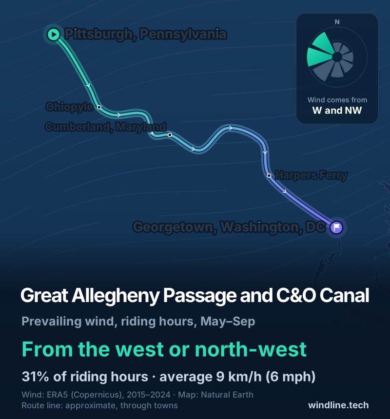
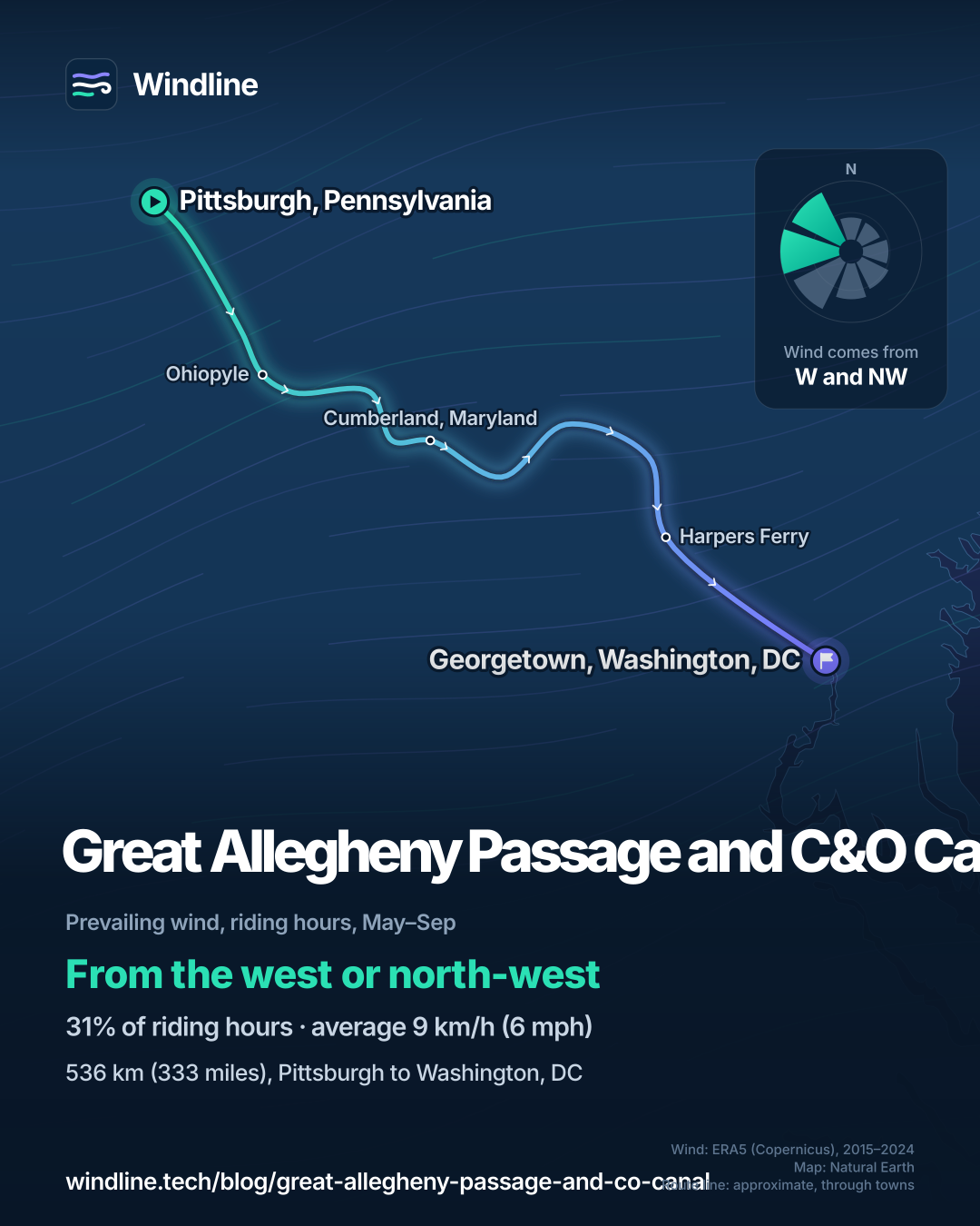
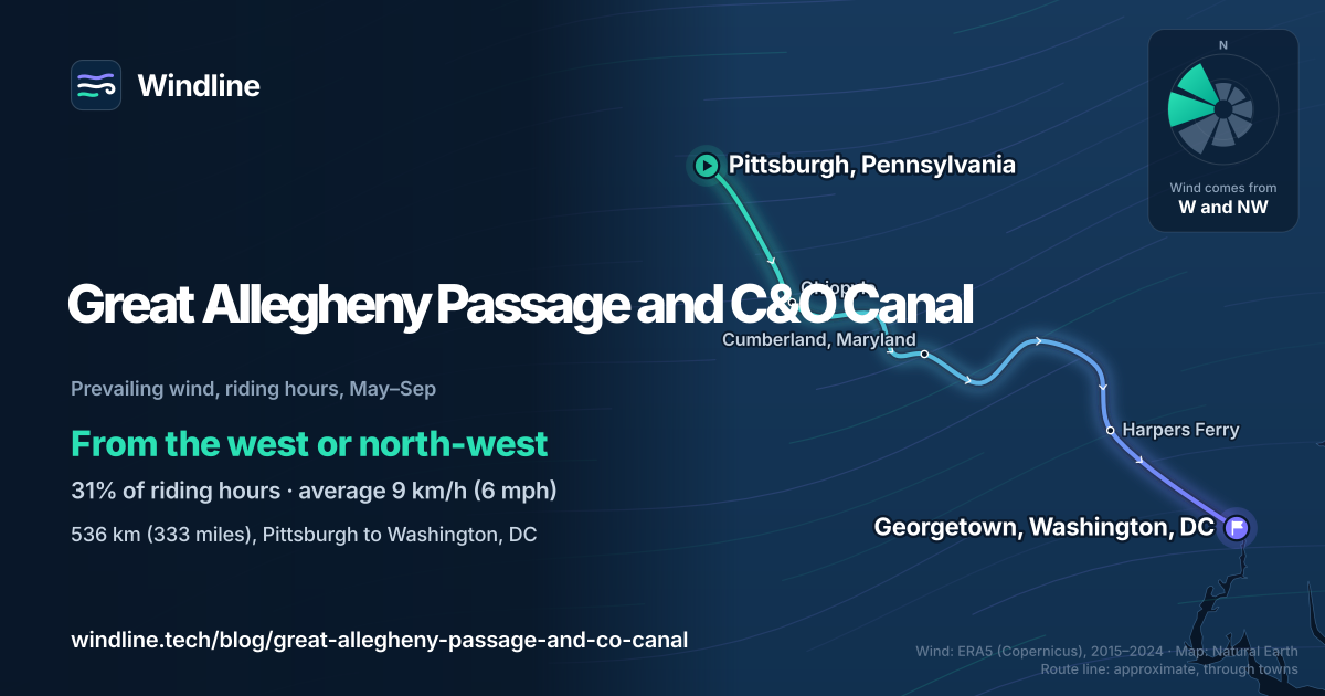
- From May to September, riding-hour winds averaged 9 km/h (6 mph), mostly from the west or north-west.
- The Big Savage Tunnel closes in winter, with no easy detour.
Definitions
- Towpath
- The path beside a canal where mules once towed the boats, now a car-free trail.
- Eastern Continental Divide
- The line separating rivers that drain to the Chesapeake Bay from those that drain to the Mississippi.
- Hiker-biker campsite
- A free, basic campsite reachable only on foot or by bike, for one night per trip.
What is the Great Allegheny Passage and C&O Canal?
It's a car-free trail pair from Pittsburgh to Washington, DC: the Great Allegheny Passage (GAP) to Cumberland, Maryland, then the C&O Canal Towpath beside the Potomac to Georgetown. It features in North America's 10 most popular cycling tours and our guide to the world's great cycling routes.
| The route at a glance | |
|---|---|
| Length | 536 km (333 miles): GAP 241 km (150 miles), towpath 297 km (184.5 miles) |
| States | Pennsylvania, Maryland, Washington, DC |
| Usual days | 4–9 |
| Surface | GAP: crushed limestone, paved for 31 km (19 miles) into Pittsburgh. Towpath: mostly packed dirt, roots and rocks |
| Signage | Mile markers on both trails; the towpath's Mile 0 is in Georgetown |
| Best months | Mid-April to mid-November |
How do riders split the stages?
The GAP Conservancy's six-day itinerary rides 70–102 km (44–63 miles) a day, sleeping in Connellsville, Rockwood, Cumberland, Hancock and Harpers Ferry. Its camping version takes 48–80 km (30–50 miles) a day over a week and two weekends.
- Pittsburgh to the Divide. The GAP rises 512 m (1,680 ft) over 201 km (125 miles), about 0.25%, through trail towns such as Ohiopyle. You're never more than nine miles (14 km) from one.
- The Divide to Cumberland. From 729 m (2,392 ft), the trail drops 539 m (1,767 ft) in 38 km (24 miles), about 1.5%, through the 1,003 m (3,291 ft) Big Savage Tunnel.
- The towpath. Nearly level, gaining just 184 m (605 ft) from DC to Cumberland, but slower and bumpier. Walk your bike through the 950 m (3,118 ft) Paw Paw Tunnel at mile 155.2, with a light.
Set your own daily distance with how far you can cycle in a day and planning a multi-day tour.
Want this for your own route? Windline shows the wind for every stretch, timed to your pace. Free. Make a free ride page →
What's the weather like through the year?
Summer is warm and often wet, and late winter and spring are the windiest time.
Weather across the year on the Great Allegheny Passage and C&O Canal, 2015–2024
| Month | Wind from | Average wind, km/h (mph) | Gusty days | Start → high, °C (°F) | Wet days |
|---|---|---|---|---|---|
| Jan | W, NW | 13 (8) | 24% | -2° (29°) → 4° (38°) | 38% |
| Feb | NW, W | 13 (8) | 25% | 0° (32°) → 7° (44°) | 40% |
| Mar | NW, W | 13 (8) | 29% | 3° (38°) → 11° (52°) | 40% |
| Apr | NW, W | 13 (8) | 28% | 9° (48°) → 17° (63°) | 44% |
| May | W, SW | 11 (7) | 16% | 15° (58°) → 23° (73°) | 47% |
| Jun | W, NW | 10 (6) | 13% | 19° (67°) → 27° (81°) | 44% |
| Jul | W, SW | 8 (5) | 5% | 22° (71°) → 30° (85°) | 42% |
| Aug | W, NW | 8 (5) | 4% | 20° (69°) → 29° (83°) | 42% |
| Sep | ~Changeable | 9 (6) | 4% | 17° (62°) → 25° (78°) | 35% |
| Oct | ~Changeable | 11 (7) | 12% | 10° (50°) → 19° (66°) | 31% |
| Nov | W, NW | 12 (7) | 16% | 5° (40°) → 12° (53°) | 29% |
| Dec | W, NW | 11 (7) | 17% | 1° (34°) → 7° (44°) | 36% |
July is the warmest month, from 22°C (71°F) at 08:00 to 30°C (85°F) at the warmest riding hour. May has the most wet days, 47%, and November the fewest, 29%. March is the windiest month, averaging 13 km/h (8 mph), with gusty days 29% of the time; from July to September that falls to 4–5%. September's and October's winds are changeable in direction.
Which way should you ride it?
Pittsburgh to DC suits most riders: the long climb is gentle, and the prevailing wind is broadly behind you. From May to September, riding-hour winds came most often from the west or north-west (31% of hours), averaging 9 km/h (6 mph), with 19% of hours calm.
The route heads south-east, then east, so those winds favour riding towards DC. But at that strength, under trees along the rivers, wind matters less here than heat, rain and mud. These are averages of past seasons, not a forecast.
Riding west has a case: the Conservancy's camping trek starts in DC to get the bumpier towpath done first, though you then climb the steeper side from Cumberland. See choosing a direction by prevailing wind.
How do you get there and back?
By train, usually. Amtrak's Floridian, currently running the old Capitol Limited line, stops at Pittsburgh, Connellsville, Cumberland and Harpers Ferry on its way to Washington, DC. A reserved bike space costs $20 on top of the fare (as of October 2026).
- Shuttles carry riders, bikes and luggage between towns.
- Opening hours: both trails are open year-round, dawn to dusk.
- Winter: the Big Savage Tunnel closes from about the end of November to early April, with no easy detour.
- Floods: towpath sections can close after major storms, so check the National Park Service's closures before you go.
- Camping: free hiker-biker campsites line the towpath; on the GAP, camp only in designated sites.
If you've ridden Europe's Danube or New Zealand's Otago Central Rail Trail, this is the American equivalent: flat, signed and sociable.
Frequently asked questions
What kind of bike do you need for the GAP and C&O Canal?
One that copes with dirt. The GAP Conservancy calls the GAP relatively smooth crushed limestone, but the towpath is bumpier: largely two-track packed dirt, roots and rocks, and very muddy after heavy rain, the National Park Service says. A hybrid, gravel or touring bike with wider tyres is more comfortable there than a road bike. Carry tools for repairs.
Can you camp for free on the C&O Canal Towpath?
Yes. The National Park Service's hiker-biker campsites are free, first-come, first-served, and limited to one night per site per trip. Each has a chemical toilet, picnic table, firepit and well water, but the water isn't treated: filter, treat or boil it. It's turned off from mid-November to mid-April. On the GAP, camp only in designated sites, because private land borders the trail.
How far apart are the towns?
On the GAP, the Conservancy says you're never more than nine miles (14 km) from a trail town with lodging and food. The towpath runs through a national historical park, with wooded stretches of nearly 30 miles (48 km) between canal towns. Plan water and food stops there, and carry two bottles.
Get the wind for your ride.
Upload a GPX, add your start time and pace, and see the headwind, gusts, rain and heat for every stretch of the route, timed to when you’ll be there. Free for riders.
Make a free ride page →Sources and method
- Great Allegheny Passage Conservancy (2026). The Ride of Your Life (Pittsburgh to Washington, DC, itinerary)
- Great Allegheny Passage Conservancy (2026). Camping Trek
- Great Allegheny Passage Conservancy (2026). How to prepare
- Great Allegheny Passage Conservancy (2026). Eastern Continental Divide
- Great Allegheny Passage Conservancy (2026). Big Savage Tunnel
- Great Allegheny Passage Conservancy (2026). Getting to the GAP (transportation and parking)
- Great Allegheny Passage Conservancy (2026). Camping
- Great Allegheny Passage Conservancy (2026). Rules and safety
- US National Park Service (2026). Chesapeake & Ohio Canal: biking
- US National Park Service (2026). Chesapeake & Ohio Canal: camping
- US National Park Service (2026). C&O Canal Mile 0
- US National Park Service (2026). Paw Paw Tunnel
- Copernicus Climate Change Service (ECMWF) (2026). ERA5 hourly time-series data on single levels from 1940 to present
- Natural Earth (2026). Terms of use (public domain map data)
Route facts come from the Great Allegheny Passage Conservancy (gaptrail.org) and the US National Park Service, read on 10 October 2026. The length is the Conservancy's 333.3 miles for the whole trip; the GAP's 150 miles and the towpath's 184.5 miles are each trail's own published figure. Usual days are the Conservancy's through-trip itineraries (four, six and nine days). Best months (mid-April to mid-November, shaded in full for April and November in the table) are when the National Park Service runs the towpath's well water, the window used in our North America list. Conversions use 1 mile = 1.609 km and 1 m = 3.281 ft, rounded. The weather table and wind figures are Windline's own analysis of Copernicus ERA5 reanalysis, 1 January 2015 to 31 December 2024, via the Copernicus Climate Data Store (dataset reanalysis-era5-single-levels-timeseries), for the 0.25° grid cell nearest three sample points along the route (Pittsburgh, Cumberland and Georgetown), pooled. Riding hours are 08:00 to 17:00 local time. Wind is the 10 m (33 ft) wind; its direction is the commonest two of eight compass sectors, and hours under 5 km/h (3 mph) count as calm. A gusty day has a riding-hour gust of 50 km/h (31 mph) or more; a wet day has 1 mm or more of rain; start is the 08:00 temperature and high is the warmest riding hour. Months whose winds barely agree on a direction are called changeable in direction. ERA5 averages cells about 25–30 km (16–19 miles) across, so it smooths out valley shelter and tree cover. These are averages of past seasons, not forecasts. Contains modified Copernicus Climate Change Service information (ERA5, 2015–2024); neither the European Commission nor ECMWF is responsible for any use of this information. The map's line is approximate, drawn through towns, not an official route map; basemap from Natural Earth (public domain).
About the author
Wes Thomson, Founder, Windline. Wes Thomson builds Windline, live wind and weather forecasts timed to when riders reach each stretch of road. He built it for his own 2,093 km tour from Pont Drift to Cape Town, and writes these guides with the same focus: what the wind will do to your ride, and how to plan around it.