The Otago Central Rail Trail: stages, season and which way to ride
Plan your days from Clyde to Middlemarch, see the weather for every month, and choose a direction with the wind in mind.
The short answer
The Otago Central Rail Trail runs 152 km (94 miles) along a former railway from Clyde to Middlemarch in New Zealand's South Island. It's Grade 1, the easiest level, on compacted gravel, and most riders allow three to five days. The trail trust says most people ride it from September to May.
Key takeaways
- Six sections, three tunnels and several viaducts, all at gentle railway gradients.
- The trail climbs gently from about 200 m (656 ft) to 618 m (2,028 ft) at Wedderburn.
- Past summers' north-westerlies favoured riding from Clyde towards Middlemarch.
- Autumn, March to May, had the fewest gusty days of the riding season.
- Book beds early for the January to April peak.
What is the Otago Central Rail Trail?
The Otago Central Rail Trail follows the old Otago Central Railway for 152 km (94 miles) from Clyde to Middlemarch, on New Zealand's South Island. It heads our 10 most popular cycling tours in Australia and New Zealand and sits in our guide to the world's great cycling routes.
| The route at a glance | |
|---|---|
| Length | 152 km (94 miles), Clyde to Middlemarch |
| Country | New Zealand (Central Otago) |
| Usual days | 3–5 |
| Surface | Compacted gravel; Grade 1, the easiest |
| Signage | Well signposted, says NZ Cycle Trail |
| Best months | September to May |
The trail is free. The Department of Conservation looks after the surface; the trust's Rail Trail Passport, NZ$15 as of October 2026, helps fund the rest. Seasons are reversed for northern visitors: spring is September to November, autumn March to May.
Which stages do people ride?
NZ Cycle Trail splits the trail into six sections of two to four hours each:
- Clyde to Chatto Creek: 25 km (16 miles), via Alexandra.
- Chatto Creek to Lauder: 19 km (12 miles), over Tiger Hill.
- Lauder to Oturehua: 22.5 km (14 miles), through the Poolburn Gorge's two tunnels and over the 108 m (354 ft) Poolburn Viaduct.
- Oturehua to Ranfurly: 25.5 km (16 miles), via Wedderburn, the high point.
- Ranfurly to Hyde: 32.5 km (20 miles), through the upper Taieri Gorge.
- Hyde to Middlemarch: 27.5 km (17 miles), across the Strath Taieri plain.
The trust's three-day plan from Clyde stops at Lauder, 44 km (27 miles), and Ranfurly, 48 km (30 miles), leaving 60 km (37 miles). It warns that food and beds beyond Ranfurly are more limited. See how far you can cycle in a day.
Want this for your own route? Windline shows the wind for every stretch, timed to your pace. Free. Make a free ride page →
What's the weather like through the year?
Autumn brings the calmest riding of the season, while spring and early summer are windier and wetter.
Weather across the year on the Otago Central Rail Trail, 2015–2024
| Month | Wind from | Average wind, km/h (mph) | Gusty days | Start → high, °C (°F) | Wet days |
|---|---|---|---|---|---|
| Jan | NW, W | 11 (7) | 30% | 10° (51°) → 19° (66°) | 43% |
| Feb | NW, N | 10 (6) | 28% | 9° (49°) → 19° (65°) | 36% |
| Mar | NW, N | 9 (6) | 23% | 7° (45°) → 16° (62°) | 34% |
| Apr | NW, W | 10 (6) | 24% | 6° (42°) → 13° (55°) | 38% |
| May | NW, N | 8 (5) | 19% | 3° (37°) → 9° (48°) | 38% |
| Jun | NW, W | 7 (4) | 10% | 0° (32°) → 5° (42°) | 37% |
| Jul | NW, W | 8 (5) | 14% | -1° (31°) → 5° (40°) | 40% |
| Aug | NW, N | 8 (5) | 15% | 0° (33°) → 7° (44°) | 37% |
| Sep | NW, W | 11 (7) | 31% | 3° (38°) → 10° (49°) | 43% |
| Oct | NW, W | 12 (7) | 34% | 4° (40°) → 12° (54°) | 46% |
| Nov | NW, W | 11 (7) | 33% | 7° (45°) → 15° (59°) | 51% |
| Dec | NW, N | 12 (7) | 33% | 10° (49°) → 17° (63°) | 51% |
From September to December, the average riding-hour wind was 11–12 km/h (7 mph), and 31–34% of days were gusty, the most of any months. March to May was calmer: 8–10 km/h (5–6 mph), with 19–24% of days gusty. January afternoons warmed to 19°C (66°F) from a 10°C (50°F) start.
Which way should you ride it?
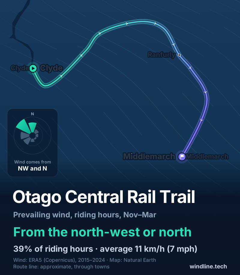
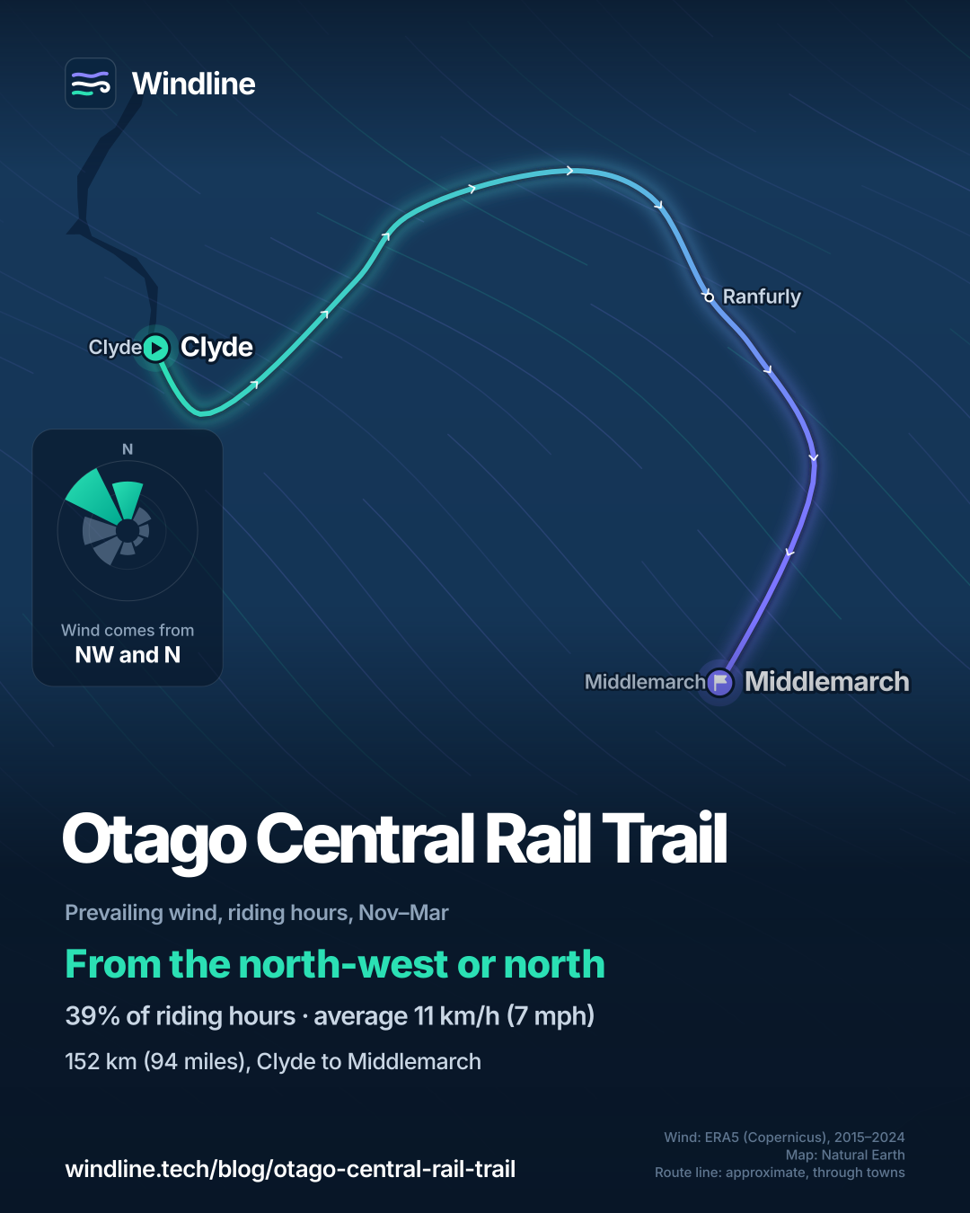
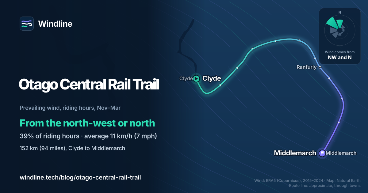
Clyde to Middlemarch, if the wind decides it. In our November–March riding hours for 2015–2024, it came from the north-west or north 39% of the time, averaging 11 km/h (7 mph). Westerly winds (south-west, west and north-west) made up 48% of hours, easterly ones 12%, and 20% were calm.
From Clyde the trail heads broadly east, so a north-wester is usually behind you or to one side. The climb is gentle either way: about 79 km (49 miles) up to Wedderburn from Clyde, then, the trust says, downhill to Ranfurly and no uphill stretches on the last day. Some riders find the inclines gentler from Middlemarch, it adds.
The trust also warns that the wind can be gusty and its direction hard to pick. These are past averages, not a forecast, and a headwind costs more than you'd think (see how much a headwind slows you down).
How do you get there and back?
Queenstown and Dunedin airports are both about an hour's drive away, says NZ Cycle Trail. InterCity buses serve Alexandra and Clyde, and local operators run shuttles, luggage transfers and bike hire. The Taieri Gorge Railway runs from Dunedin to Pukerangi, a ride from Middlemarch, on certain summer days and carries bikes; check dates with Dunedin Railways.
Book beds early for the January to April peak; many businesses close from mid-May to early September.
Liked the Loire à Vélo or the Great Allegheny Passage and C&O Canal? Otago has the same easy railway grades, in 152 km against their 630 km (391 miles) and 536 km (333 miles).
Frequently asked questions
Do you need a torch for the Otago Central Rail Trail tunnels?
Yes, the trail trust advises bringing one. There are three tunnels: two in the Poolburn Gorge, 201 m (659 ft) and 230 m (755 ft) long, and a 152 m (499 ft) brick-lined one at Prices Creek, between Tiroiti and Hyde. The trust suggests going slowly to admire the brickwork and stonework. A small front light does the job.
Can you ride the Otago Central Rail Trail in winter?
Yes, it's open all year. NZ Cycle Trail says temperatures reach freezing and snow can slow some sections, and many trail businesses close from mid-May to early September. In our 2015–2024 data, June and July highs were only 5°C (41°F), with mornings near 0°C (32°F). Check that your beds and meals are open before you go.
Can you ride just part of the Otago Central Rail Trail?
Yes. The trail has many access points, and the trust suggests choosing a section with tunnels and viaducts: the Poolburn Gorge, or Daisybank to Hyde. Local operators run shuttles, so you can be dropped off and ride back to your car. NZ Cycle Trail suggests day rides from Omakau, Oturehua and Hyde.
Get the wind for your ride.
Upload a GPX, add your start time and pace, and see the headwind, gusts, rain and heat for every stretch of the route, timed to when you’ll be there. Free for riders.
Make a free ride page →Sources and method
- Otago Central Rail Trail Trust (2026). Frequently asked questions
- Otago Central Rail Trail Trust (2026). Climate and characteristics
- Otago Central Rail Trail Trust (2026). Three day trips
- Otago Central Rail Trail Trust (2026). Bridges and tunnels
- Otago Central Rail Trail Trust (2026). Taieri Gorge Train
- Otago Central Rail Trail Trust (2026). Home page (Rail Trail Passport)
- Ngā Haerenga New Zealand Cycle Trails (2026). Otago Central Rail Trail
- Copernicus Climate Change Service (ECMWF) (2026). ERA5 hourly time-series data on single levels from 1940 to present
Route facts are from the Otago Central Rail Trail Trust and NZ Cycle Trail (Ngā Haerenga), as checked on 10 October 2026. The length, 152 km, is the trust's figure, and NZ Cycle Trail's six section lengths add to the same total. Days (three to five) and the September to May season are the trust's; the best months shown are that season. The heights are the trust's: about 200 m rising to 618 m at Wedderburn. Wedderburn's distance from Clyde, about 79 km (49 miles), is our sum of NZ Cycle Trail's figures: the first three sections plus the 12 km from Oturehua. Weather across the year: Windline's own analysis of hourly ERA5 reanalysis (Copernicus Climate Change Service, ECMWF), 1 January 2015 to 31 December 2024, downloaded from the Copernicus Climate Data Store, at three sample points along the trail (Clyde, Ranfurly and Middlemarch, nearest 0.25° grid cell), pooled. Riding hours are 08:00 to 17:00 local time. Wind is 10 m (33 ft) wind; the directions shown are the two commonest of eight compass sectors, and months when the hours barely agree on a direction are shown as changeable; hours under 5 km/h (3 mph) count as calm. A gusty day has a riding-hour gust of 50 km/h (31 mph) or more; a wet day has 1 mm or more of rain; start is the 08:00 temperature and high is the warmest riding hour. The direction figures use November to March riding hours only; westerly means the south-west, west and north-west sectors, easterly the north-east, east and south-east sectors. These are averages of past seasons, not forecasts. Contains modified Copernicus Climate Change Service information (ERA5, 2015–2024); neither the European Commission nor ECMWF is responsible for any use of this information. The map's route line joins town centres in riding order; it is approximate and not an official route. Conversions use 1 mile = 1.609 km and 1 m = 3.281 ft, rounded; °F = °C × 1.8 + 32.
About the author
Wes Thomson, Founder, Windline. Wes Thomson builds Windline, live wind and weather forecasts timed to when riders reach each stretch of road. He built it for his own 2,093 km tour from Pont Drift to Cape Town, and writes these guides with the same focus: what the wind will do to your ride, and how to plan around it.