The Munda Biddi Trail: route, sections, weather and getting there
Plan the Munda Biddi section by section, see the weather for every month, and work out how to reach each end with a bike.
The short answer
The Munda Biddi Trail is Western Australia's long off-road cycling trail, from Mundaring, near Perth, to Albany on the south coast. Its foundation's route page gives 1,072 km (666 miles); other official pages say 1,000 km (621 miles). Riding it end to end takes about three to four weeks, best between late March and November.
Key takeaways
- The foundation gives 1,000, 1,067 and 1,072 km on different pages; plan on about 1,070 km.
- Twelve free shelters sit a day's ride apart, but they can't be booked, so carry a tent.
- The foundation and Parks and Wildlife strongly advise against riding from December to February.
- Winter is wet and windy, with westerlies; autumn and spring are the sweet spots.
What is the Munda Biddi Trail?
The Munda Biddi Trail is an off-road cycling trail through the forests of south-west Western Australia, from Mundaring in the Perth Hills to Albany on the south coast. It's one of our 10 most popular cycling tours in Australia and New Zealand, in our guide to the world's great cycling routes.
Its Noongar name means "path through the forest".
| The route at a glance | |
|---|---|
| Length | 1,072 km (666 miles), Mundaring to Albany |
| State | Western Australia |
| Usual days | About three to four weeks end to end (our estimate) |
| Surface | Red pea gravel to Manjimup, then loamy soil and fine white sand; forest roads, rail formations, singletrack |
| Signage | Blue arrows on yellow posts |
| Best months | Late March to November |
The Munda Biddi Trail Foundation's own pages disagree on length: 1,072 km on its route page, 1,067 km (663 miles) on its home page and 1,000 km (621 miles) in its footer.
Which sections do people ride?
The north is the hardest to resupply: Jarrahdale, the first town, is 103 km (64 miles) from Mundaring, and Dwellingup is another 81 km (50 miles).
- Mundaring to Collie: via Jarrahdale and Dwellingup. The foundation calls the climbs in and out of river valleys on the Darling Scarp challenging.
- Collie to Manjimup: via Boyanup, Donnybrook, Nannup and Donnelly River, the halfway point.
- Manjimup to Albany: tall karri forest through Pemberton and Northcliffe, then the coast via Walpole and Denmark. The foundation flags Northcliffe to Walpole as short of water.
Twelve free shelters sit 40–60 km (25–37 miles) apart, with bunks, two rainwater tanks and tent sites. They can't be booked. The foundation suggests 30–40 km (19–25 miles) a day off-road if you usually ride 60 km (37 miles) on roads: see how far to bikepack in a day.
Want this for your own route? Windline shows the wind for every stretch, timed to your pace. Free. Make a free ride page →
What's the weather like through the year?
Autumn and spring are mild; winter is wet and windy, and summer is hot.
Weather across the year on the Munda Biddi Trail, 2015–2024
| Month | Wind from | Average wind, km/h (mph) | Gusty days | Start → high, °C (°F) | Wet days |
|---|---|---|---|---|---|
| Jan | E, SE | 17 (10) | 25% | 20° (69°) → 27° (80°) | 9% |
| Feb | E, SE | 16 (10) | 20% | 20° (68°) → 27° (80°) | 12% |
| Mar | E, SE | 16 (10) | 16% | 19° (65°) → 25° (76°) | 19% |
| Apr | ~Changeable | 15 (9) | 12% | 16° (60°) → 22° (71°) | 20% |
| May | ~Changeable | 15 (9) | 16% | 13° (55°) → 19° (66°) | 24% |
| Jun | W, NW | 15 (9) | 21% | 11° (51°) → 16° (61°) | 36% |
| Jul | W, NW | 17 (10) | 32% | 10° (51°) → 15° (60°) | 44% |
| Aug | W, NW | 17 (10) | 29% | 11° (51°) → 16° (60°) | 39% |
| Sep | W, SW | 16 (10) | 24% | 13° (55°) → 17° (63°) | 29% |
| Oct | W, SW | 16 (10) | 20% | 15° (59°) → 20° (67°) | 25% |
| Nov | E, SW | 16 (10) | 18% | 17° (63°) → 22° (72°) | 16% |
| Dec | E, SW | 16 (10) | 19% | 20° (67°) → 25° (78°) | 9% |
From June to August the wind came mostly from the west or north-west at 15–17 km/h (9–10 mph), with gusty days peaking at 32% in July and rain on 36–44% of days. April and May were changeable in direction, with highs of 19–22°C (66–71°F). By November rain fell on just 16% of days. January's average high was 27°C (80°F), but the foundation warns of days over 40°C (104°F).
Which way should you ride it?
Either way: the foundation counts end-to-enders whichever way they ride, though the official map set runs from Mundaring to Albany. In the riding season the wind gives only a slight edge.
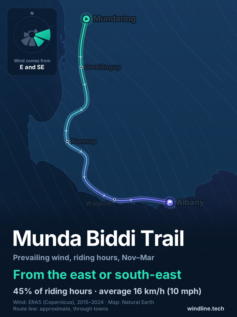
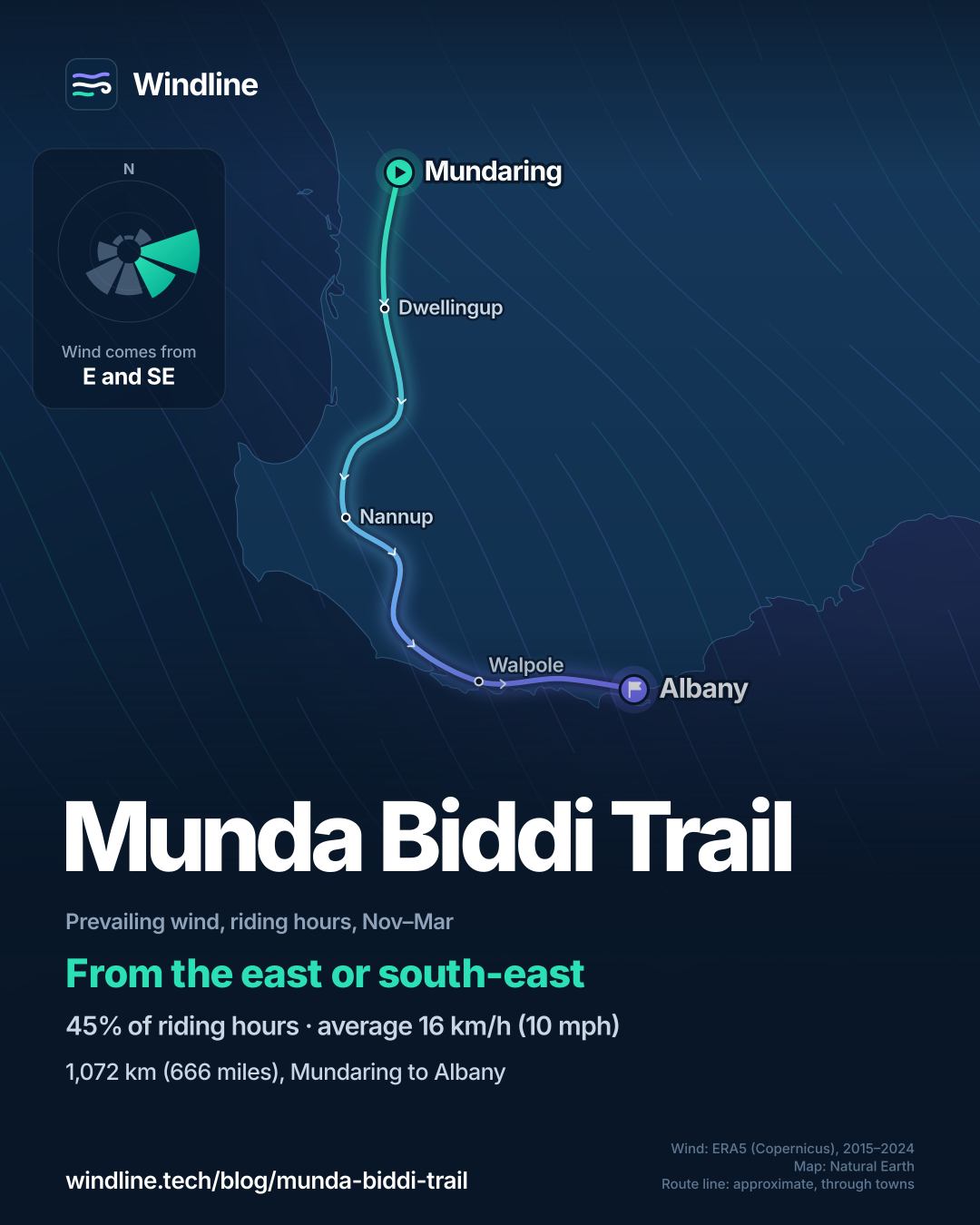
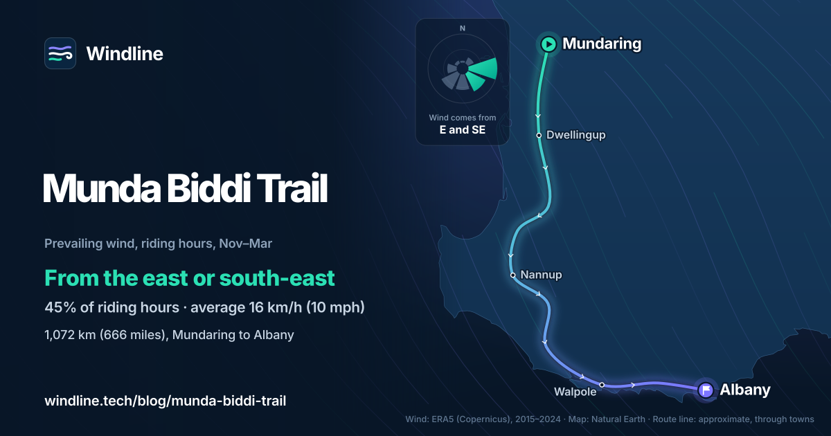
The trail heads south, then east along the coast. From June to October, the commonest winds blew from the west, north-west or south-west. That's mostly side-on going south through the forest, and behind you on the eastward coast leg if it holds there. From November to March the commonest winds came from the east or south-east, partly against riders heading south or east.
These are averages from three points, not a forecast.
How do you get there and back?
By train to Mundaring and by coach from Albany. The foundation's route from Perth Airport is the Airport line to Meltham, the Midland line to Midland, then about 12 km (7 miles) on the Railway Reserves Heritage Trail to Sculpture Park, the northern terminus.
Transwa's GS3 coach links Perth and Albany via Bunbury and Walpole, stopping at Donnybrook, Manjimup, Pemberton, Northcliffe and Denmark, which suits sectional rides. Transwa coaches take bikes if you book ahead, usually two per trip, the foundation says; Transperth's city buses don't. Nannup, Dwellingup and Denmark have local shuttles.
Food comes only from towns, so plan drops for the long northern stretches. The foundation advises carrying at least 2–3 litres (0.5–0.8 US gallons) of water a day and treating tank water: see bikepacking food and water.
Frequently asked questions
Can you ride the Munda Biddi in summer?
The foundation and Parks and Wildlife strongly advise against it from December to February. The south-west can have several days in a row over 35°C (95°F), and wildfire is a real risk. The foundation says the northern jarrah forests can top 40°C (104°F), and campsite tanks can run low.
What bike do you need for the Munda Biddi?
Just about any mountain bike, says the foundation, or a hybrid with wide knobbly tyres of about 2.1 in (53 mm). It recommends front suspension and disc brakes, and advises against a dual-suspension bike if you're carrying gear. Racing, touring and recumbent bikes don't suit the trail. Our [bikepacking bike guide](/blog/best-bike-for-bikepacking/) compares the options.
Can you camp anywhere along the Munda Biddi?
No. Camping between campsites is banned in drinking-water catchments, which the foundation says covers most of the trail between Mundaring and Collie and south of the Blackwood River. Use the tent sites at the trail's campsites. Groups of eight or more must notify the foundation and Parks and Wildlife at least four weeks ahead, and a group can have at most 17 people.
Get the wind for your ride.
Upload a GPX, add your start time and pace, and see the headwind, gusts, rain and heat for every stretch of the route, timed to when you’ll be there. Free for riders.
Make a free ride page →Sources and method
- Munda Biddi Trail Foundation (2026). About the trail
- Munda Biddi Trail Foundation (2026). Munda Biddi Trail (home page)
- Munda Biddi Trail Foundation (2026). Multi-day / end-to-end
- Munda Biddi Trail Foundation (2026). Plan your ride
- Munda Biddi Trail Foundation (2026). Shelters and campsites
- Munda Biddi Trail Foundation (2026). Camping, huts and other accommodation
- Munda Biddi Trail Foundation (2026). When is the best time to ride the Munda Biddi Trail?
- Munda Biddi Trail Foundation (2026). Trail towns
- Munda Biddi Trail Foundation (2026). Maps, app and GPS
- Munda Biddi Trail Foundation (2026). Getting to the trail by train, bus, bike and car
- Munda Biddi Trail Foundation (2026). What sort of bike? (FAQs)
- Munda Biddi Trail Foundation (2026). How much water to pack for the Munda Biddi Trail?
- Parks and Wildlife Service (DBCA), Explore Parks WA (2026). Munda Biddi Trail
- Transwa (Public Transport Authority of Western Australia) (2026). GS3: Perth to Albany
- Copernicus Climate Change Service (ECMWF) (2026). ERA5 hourly time-series data on single levels from 1940 to present
Route facts are from the Munda Biddi Trail Foundation, Parks and Wildlife Service (DBCA) and Transwa, as checked on 10 October 2026. The length differs between official pages: 1,072 km on the foundation's route page, 1,067 km on its home page and its best-time page, and 1,000 km in the footer of every foundation page and on DBCA's Explore Parks page. We use 1,072 km on the map and in our Australia and New Zealand list, and about 1,000 km where our bikepacking guides quote the round figure. Shelter spacing is 40–60 km on the route page and 40–50 km on the shelters page. "Three to four weeks" is our estimate, as in our list: one shelter-to-shelter stage of 40–60 km a day over 1,072 km is 18–27 riding days, plus rest days. Best months are the foundation's "late March to November"; the table shades March to November. Weather across the year: Windline's own analysis of hourly ERA5 reanalysis (Copernicus Climate Change Service, ECMWF), 1 January 2015 to 31 December 2024, downloaded from the Copernicus Climate Data Store, at three sample points along the route (Mundaring, Nannup and Albany, nearest 0.25° grid cell), pooled. Riding hours are 08:00 to 17:00 local time. Wind is 10 m (33 ft) wind; the directions shown are the two commonest of eight compass sectors, and months when the hours barely agree on a direction are shown as changeable; hours under 5 km/h (3 mph) count as calm. A gusty day has a riding-hour gust of 50 km/h (31 mph) or more; a wet day has 1 mm or more of rain; start is the 08:00 temperature and high is the warmest riding hour. These are averages of past seasons, not forecasts. Contains modified Copernicus Climate Change Service information (ERA5, 2015–2024); neither the European Commission nor ECMWF is responsible for any use of this information. The map's route line joins trail towns in riding order; it is approximate and not an official route. Conversions use 1 mile = 1.609 km and °F = °C × 1.8 + 32, rounded.
About the author
Wes Thomson, Founder, Windline. Wes Thomson builds Windline, live wind and weather forecasts timed to when riders reach each stretch of road. He built it for his own 2,093 km tour from Pont Drift to Cape Town, and writes these guides with the same focus: what the wind will do to your ride, and how to plan around it.