The Alps 2 Ocean Cycle Trail: sections, weather and which way to ride
Pick your start, see the weather for every month, choose a direction with the wind, and plan buses, shuttles and supplies.
The short answer
The Alps 2 Ocean Cycle Trail runs 315 km (196 miles) from Aoraki/Mount Cook to Oamaru on the Pacific coast, the longest of New Zealand's Great Rides. Most riders take five to seven days on gravel trail, canal paths, old railway line and quiet country roads. Peak season is December to April, the southern summer.
Key takeaways
- Start at Aoraki/Mount Cook with a helicopter hop over the Tasman River, or skip it from Lake Tekapo.
- The trail is graded easy to intermediate, with one big climb to about 900 m (2,950 ft).
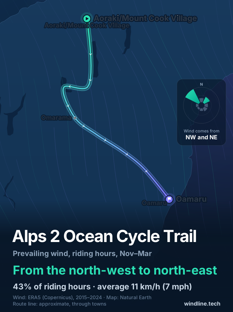
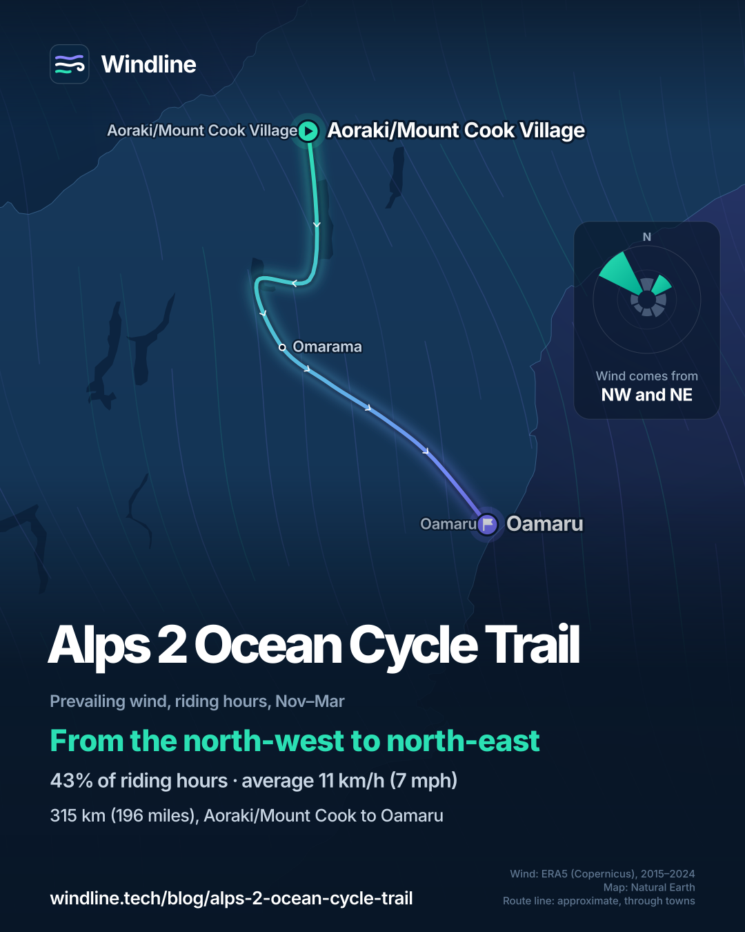
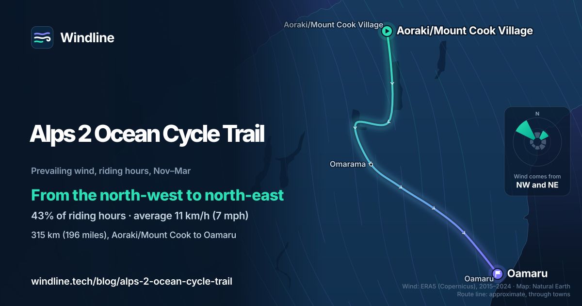
- In past summers, north-westerlies were commonest, mostly helping riders heading for the sea.
- Long stretches have no food or water, so carry enough for each day.
What is the Alps 2 Ocean Cycle Trail?
It's a 315 km (196-mile) trail from the foot of Aoraki/Mount Cook, New Zealand's highest mountain, to Oamaru on the Pacific coast. It's the longest of the country's 23 Great Rides, and one of our 10 most popular cycling tours in Australia and New Zealand. It sits in our guide to the world's great cycling routes.
| The route at a glance | |
|---|---|
| Length | 315 km (196 miles), Aoraki/Mount Cook to Oamaru |
| Country | New Zealand: Mackenzie Country, Waitaki Valley, North Otago |
| Usual days | 5–7 for the whole trail |
| Surface | Gravel trail, canal paths, old railway line, quiet country roads |
| Grade | 2–3 (easy to intermediate); high point about 900 m (2,950 ft) |
| Signage | Well signposted, says NZ Cycle Trail |
| Best months | December to April (peak season) |
Which sections do people ride?
The trail comes in nine official sections of 28–54 km (17–34 miles), so most riders link one or two a day.
- Aoraki/Mount Cook to Twizel: just over 7 km (4 miles) in, a helicopter carries riders and bikes across the Tasman River, then the trail follows Lake Pukaki.
- Lake Tekapo to Twizel: the 54 km (34-mile) alternative start, largely on a canal road closed to traffic.
- Twizel to Omarama, via Lake Ohau: the hardest climb, 300 m (984 ft) over 5 km (3 miles) to the Tarnbrae high point, then a steep, winding descent.
- Omarama to Kurow: past hydro lakes. Beside Lake Benmore the trail is narrow with steep drop-offs; NZ Cycle Trail urges extra care when it's windy.
- Kurow to Oamaru: Waitaki wine country, then an old railway line to the harbour.
Want this for your own route? Windline shows the wind for every stretch, timed to your pace. Free. Make a free ride page →
What's the weather like through the year?
In peak season the average wind is light, but gusty and wet days are common.
Weather across the year on the Alps 2 Ocean Cycle Trail, 2015–2024
| Month | Wind from | Average wind, km/h (mph) | Gusty days | Start → high, °C (°F) | Wet days |
|---|---|---|---|---|---|
| Jan | NW, NE | 11 (7) | 24% | 11° (52°) → 17° (63°) | 44% |
| Feb | NW, NE | 10 (6) | 24% | 10° (50°) → 17° (63°) | 40% |
| Mar | NW, NE | 10 (6) | 20% | 9° (48°) → 16° (60°) | 40% |
| Apr | NW, NE | 9 (6) | 20% | 7° (44°) → 13° (55°) | 39% |
| May | NW, N | 8 (5) | 20% | 4° (39°) → 10° (49°) | 39% |
| Jun | NW, W | 7 (5) | 13% | 2° (35°) → 6° (43°) | 39% |
| Jul | NW, W | 8 (5) | 16% | 1° (33°) → 5° (42°) | 40% |
| Aug | NW, N | 8 (5) | 15% | 2° (35°) → 7° (44°) | 40% |
| Sep | NW, NE | 10 (6) | 25% | 4° (38°) → 9° (47°) | 43% |
| Oct | NW, NE | 10 (6) | 26% | 5° (40°) → 11° (52°) | 47% |
| Nov | NW, NE | 11 (7) | 27% | 8° (46°) → 14° (56°) | 51% |
| Dec | NW, NE | 11 (7) | 26% | 10° (50°) → 16° (60°) | 53% |
From December to April, the average riding-hour wind was 9–11 km/h (6–7 mph), yet 20–26% of days had a gust of 50 km/h (31 mph) or more. Rain fell on 39–53% of days, December most of all. Summer mornings started at 10–11°C (50–52°F) and peaked at 16–17°C (61–63°F). The figures include the alpine start, so pack warm layers.
Which way should you ride it?
Mountains to sea, as the official sections run; in past summers the wind more often helped than hindered that way.
In our November–March riding hours for 2015–2024, the wind came from the north-west or north-east 43% of the time, and from the north-west alone 30%. Winds from the northern half made up 51% of hours, southerly ones 16%, and 21% were calm. The average was 11 km/h (7 mph).
The trail heads mostly south, then south-east, so a north-westerly is usually behind or beside you; only the leg from Twizel towards Lake Ohau heads west, into it. These are past averages, not a forecast, and even a light headwind adds up (see how much a headwind slows you down). Our prevailing winds guide compares routes worldwide.
How do you get there and back?
Fly to Christchurch, Dunedin or Queenstown, 2–4 hours' drive away, then take a bus or shuttle. InterCity buses serve Tekapo, Aoraki/Mount Cook Village, Twizel, Omarama and Oamaru.
InterCity takes bikes with both wheels off as checked luggage, but some buses can't carry them, so contact it before you travel. Local companies offer bike hire, shuttles and luggage transfers. Book these and your beds early for December to April.
Long stretches have no food or water, and small towns may have only a dairy (corner shop) or café; see bikepacking food and water. Phone coverage is patchy. After rain, check the trail's status page: Ohau Weir can't be crossed in flood.
Want something gentler? The Otago Central Rail Trail is 152 km (94 miles) at Grade 1, the easiest level.
Frequently asked questions
Do you have to take the helicopter on the Alps 2 Ocean?
No. NZ Cycle Trail lists three other starts that avoid the Tasman River crossing: Lake Tekapo, Tekapo B Power Station and Jollie car park. The Lake Tekapo start is 54 km (34 miles) to Twizel at Grade 2. If you do fly, pre-book: the hop depends on the weather and trail conditions.
Can you ride the Alps 2 Ocean in winter?
Parts of it, with care. NZ Cycle Trail warns that snow may make some of the trail impassable, and some accommodation closes in winter. In our 2015–2024 data, June and July mornings started at 1–2°C (34–36°F) and warmed to only 5–6°C (41–43°F). Check the trail's status page before you go.
Is the Alps 2 Ocean good for beginners?
Parts of it are. The trail is graded 2–3, easy to intermediate, and NZ Cycle Trail says riders tackling all of it should be reasonably fit and experienced. Beginners can ride shorter sections from Tekapo, Twizel or Omarama, using shuttles. To judge your own daily range, see [how far you can cycle in a day](/blog/how-far-can-you-cycle-in-a-day/).
Get the wind for your ride.
Upload a GPX, add your start time and pace, and see the headwind, gusts, rain and heat for every stretch of the route, timed to when you’ll be there. Free for riders.
Make a free ride page →Sources and method
- Ngā Haerenga New Zealand Cycle Trails (2026). Alps 2 Ocean Cycle Trail
- Ngā Haerenga New Zealand Cycle Trails (2026). 23 Great Rides
- InterCity (2026). Oversized luggage items (bicycles)
- Copernicus Climate Change Service (ECMWF) (2026). ERA5 hourly time-series data on single levels from 1940 to present
Route facts are from NZ Cycle Trail's official Alps 2 Ocean page and its 23 Great Rides list, checked on 10 October 2026; the trail's own website refused automated access that day, so it is not cited. The length (315 km), the 5–7 days, the section lengths, grades, the high point (about 900 m), signage, the helicopter crossing, the alternative starts and the peak season (December to April) are NZ Cycle Trail's figures and wording. Section lengths are rounded to whole kilometres as published and do not add exactly to 315 km. Bus facts are from InterCity's oversized-luggage page, checked the same day. Weather across the year: Windline's own analysis of hourly ERA5 reanalysis (Copernicus Climate Change Service, ECMWF), 1 January 2015 to 31 December 2024, downloaded from the Copernicus Climate Data Store, at three sample points along the route (Aoraki/Mount Cook Village, Omarama and Oamaru, nearest 0.25° grid cell), pooled. Riding hours are 08:00 to 17:00 local time. Wind is 10 m (33 ft) wind; the directions shown are the two commonest of eight compass sectors, and months when the hours barely agree on a direction are shown as changeable; hours under 5 km/h (3 mph) count as calm. A gusty day has a riding-hour gust of 50 km/h (31 mph) or more; a wet day has 1 mm or more of rain; start is the 08:00 temperature and high is the warmest riding hour. The direction figures use November to March riding hours only, as in our Australia and New Zealand list; the northern half means the north-west, north and north-east sectors, the southern half the south-west, south and south-east sectors. These are averages of past seasons, not forecasts. Contains modified Copernicus Climate Change Service information (ERA5, 2015–2024); neither the European Commission nor ECMWF is responsible for any use of this information. The map's route line joins towns in riding order; it is approximate and not an official route. Conversions use 1 mile = 1.609 km and 1 m = 3.281 ft, rounded; °F = °C × 1.8 + 32.
About the author
Wes Thomson, Founder, Windline. Wes Thomson builds Windline, live wind and weather forecasts timed to when riders reach each stretch of road. He built it for his own 2,093 km tour from Pont Drift to Cape Town, and writes these guides with the same focus: what the wind will do to your ride, and how to plan around it.