Cycling in Mallorca: routes, loops, weather and which way to ride
Mallorca is a base for day loops. See its routes, its weather across the year and how the sea breeze shapes your ride home.
The short answer
Cycling in Mallorca means day loops from one base, not one long line. The Balearic tourism board counts 468 km (291 miles) of signposted routes plus loops of 70–120 km (43–75 miles), and promotes January to May and September to November. Climb in the north-west mountains, cruise the flat centre, and plan around afternoon sea breezes.
Key takeaways
- Mallorca is a base for day loops, with 468 km (291 miles) of signposted routes.
- The tourism board's cycling months are January to May and September to November.
- On calm summer days the sea breeze blows inland from each coast, strongest in the afternoon.
- On windy winter days a westerly or south-westerly is likeliest; ride out into it.
Definitions
- Sea breeze
- A daytime wind from sea to land, driven by land heating faster than the sea; it reverses at night into a land breeze.
- Embat
- The Mallorcan name for the sea breeze.
What is cycling in Mallorca like?
Cycling in Mallorca, Spain, means day loops from one base rather than a line from A to B. It's in our lists of the best cycling routes in Europe and the best cycling routes in the world.
| At a glance | Mallorca |
|---|---|
| Type | Day loops from a base |
| Signposted routes | 468 km (291 miles), in ten routes |
| Loops | 70–120 km (43–75 miles) each |
| Other roads | Over 1,600 km (994 miles) of secondary roads |
| Surface | Roads |
| Best months | January to May, September to November |
Figures from the Balearic tourism board.
Which parts of the island do people ride?
Mountains in the north-west, rolling lanes in the centre and the coasts between. Ranges run along the north-west and south-east sides, with a wide lowland joining the bays of Palma and Alcúdia.
- The Serra de Tramuntana: the big climbs, including Puig Major and the road down to Sa Calobra, which you ride back up.
- Cap de Formentor: the lighthouse road from Port de Pollença, open to bikes while cars are restricted.
- The centre: open valleys and low hills, good for first loops and easy days.
Want this for your own route? Windline shows the wind for every stretch, timed to your pace. Free. Make a free ride page →
What's the weather like through the year?
Mild winters and hot, dry summers, with more wind and gusty days from November to March.
Weather across the year on the Mallorca, 2015–2024
| Month | Wind from | Average wind, km/h (mph) | Gusty days | Start → high, °C (°F) | Wet days |
|---|---|---|---|---|---|
| Jan | W, SW | 16 (10) | 26% | 10° (51°) → 14° (58°) | 22% |
| Feb | SW, W | 15 (9) | 22% | 10° (51°) → 15° (59°) | 23% |
| Mar | ~Changeable | 17 (11) | 25% | 12° (53°) → 16° (61°) | 24% |
| Apr | ~Changeable | 15 (9) | 14% | 13° (56°) → 18° (65°) | 23% |
| May | ~Changeable | 13 (8) | 8% | 17° (63°) → 22° (71°) | 18% |
| Jun | ~Changeable | 11 (7) | 4% | 22° (71°) → 26° (80°) | 10% |
| Jul | E, NE | 11 (7) | 3% | 24° (76°) → 30° (85°) | 3% |
| Aug | NE, E | 11 (7) | 4% | 24° (76°) → 29° (85°) | 11% |
| Sep | NE, E | 13 (8) | 8% | 22° (71°) → 26° (80°) | 30% |
| Oct | ~Changeable | 14 (8) | 12% | 18° (65°) → 23° (73°) | 26% |
| Nov | W, SW | 16 (10) | 24% | 15° (58°) → 18° (65°) | 33% |
| Dec | W, SW | 14 (9) | 19% | 12° (54°) → 16° (61°) | 22% |
From November to March the wind averages 14–17 km/h (9–11 mph), and 19–26% of days bring a gust of 50 km/h (31 mph) or more. In July and August it drops to 11 km/h (7 mph), but highs reach 29–30°C (85°F). Spring is drier than autumn: wet days run 18–24% from March to May against 26–33% from September to November. For month-by-month detail, read Mallorca cycling weather.
Which way should you ride your loops?
There's no one best direction round Mallorca. On calm summer days, plan around the sea breeze and the clock; on windy winter days, ride out into the wind.
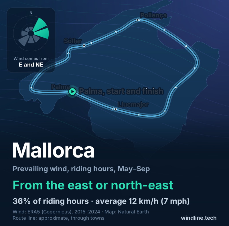
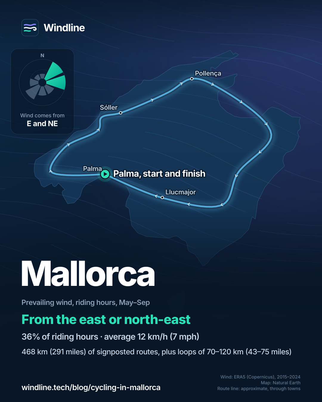
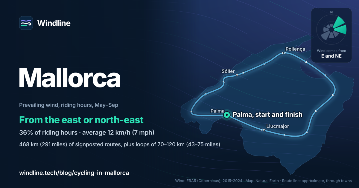
From May to September our riding-hour wind comes mostly from the east or north-east (36% of hours), averaging 12 km/h (7 mph). But that pools three grid cells, each about 21 by 28 km (13 by 17 miles), so it blurs the island's own breezes.
That breeze, the embat, forms on sunny days with little wind on the weather map, mostly in summer. It blows from sea to land, turning clockwise round the island: from the north-east in the bays of Pollença and Alcúdia, the south-east on the east coast, and the south or south-west on the Palma side. The Tramuntana blocks it in the west. The breezes meet over the centre, where they can build summer showers.
It sets in during the morning and is strongest around mid-afternoon, so:
- From Port de Pollença or Alcúdia, the ride home from inland meets a north-easterly off the bay.
- From Palma, it meets a southerly or south-westerly.
- Either way, climb and ride inland early, and be back on the coast by early afternoon.
In winter, a westerly or south-westerly can blow all day. Then ride out into it and home with it: see which direction to ride and how much a headwind slows you down. These are past averages, not a forecast, so check the forecast for your ride.
How do you get there, and what are the rules?
Fly to Palma, or take a ferry from mainland Spain. Spain's helmet and overtaking rules changed on 1 October 2026.
- Getting there: Aena runs Palma de Mallorca airport. Trasmed lists ferries from Barcelona and Valencia to Palma, and from Barcelona to Alcúdia.
- Where to stay: the tourism board counts close to two hundred hotels with bike parking, workshops, rental and bike transfers.
- Helmets: all cyclists must now wear one on roads outside towns.
- Overtaking: on those roads, drivers must pass at least 20 km/h (12 mph) below the limit and leave 1.5 m (5 ft).
Frequently asked questions
Is Mallorca good for a first cycling holiday?
Yes, if you pick the right loops. The tourism board says its routes come in various levels of difficulty, and the centre of the island is a wide lowland of open valleys and low hills between the bays of Palma and Alcúdia. Start there, shorten the 70–120 km (43–75 mile) loops to suit you, and see [how far you can cycle in a day](/blog/how-far-can-you-cycle-in-a-day/).
Can you cycle in Mallorca in July and August?
You can, but it's hot. In our figures July averages 24°C (76°F) at 08:00 and 30°C (85°F) at the warmest riding hour, and the tourism board's cycling months leave out June to August. Start at first light, carry more water and finish by early afternoon, before the sea breeze and inland showers build. See [cycling in the heat](/blog/cycling-in-the-heat/).
Can you ride to Cap de Formentor when the road is closed to cars?
Yes. In 2026 Spain's traffic authority (DGT) controls cars from 15 May to 18 October, 10:00 to 22:00. From Port de Pollença to Formentor beach, cars may pass only until the beach car park is full; from the beach to the lighthouse, only authorised vehicles. Bicycles are on its authorised list for both stretches, with the shuttle bus and residents.
Get the wind for your ride.
Upload a GPX, add your start time and pace, and see the headwind, gusts, rain and heat for every stretch of the route, timed to when you’ll be there. Free for riders.
Make a free ride page →Sources and method
- Illes Balears tourism (Govern de les Illes Balears) (2026). The Balearic Islands, Europe's cycle tourism paradise
- Cuadernos Geográficos (Universidad de Granada) (2024). Brisas marinas en Mallorca: ensayo metodológico para su identificación a partir de datos REDMAR, REDEXT y SIMAR (Aloy-Estelrich and Alomar-Garau)
- Dirección General de Tráfico (DGT) (2026). Formentor 2026 (access restrictions, Catalan)
- Ministerio del Interior (via DGT) (2026). Interior actualiza el Reglamento General de Circulación para mejorar la protección de los usuarios vulnerables de la vía (press release, 23 June 2026)
- Trasmed (2026). Ferry routes
- Aena (2026). Palma de Mallorca Airport
- Copernicus Climate Change Service (ECMWF) (2026). ERA5 hourly time-series data on single levels from 1940 to present
Route facts (468 km of signposted routes in ten routes, loops of 70–120 km, over 1,600 km of secondary roads, the January–May and September–November months, the cycling hotels) are from the Balearic tourism board, checked on 10 October 2026; the best months shaded in the table are those months. The island's layout and the sea-breeze directions are from Aloy-Estelrich and Alomar-Garau (2024), who summarise the 1946 survey by Jansà and Jaume and later numerical simulations; their study takes 13:00 UTC, 15:00 Mallorca summer time, as the breeze's time of fullest development. The Formentor rules are from the DGT's 2026 notice and the helmet and overtaking rules from the Ministry of the Interior's press release of 23 June 2026, which says they take effect on 1 October 2026. Weather across the year: Windline's own analysis of ERA5 reanalysis (Copernicus Climate Change Service, ECMWF), 1 January 2015 to 31 December 2024, downloaded from the Copernicus Climate Data Store, for riding hours 08:00 to 17:00 local time at three sample points around the island (near Sóller, Pollença and Llucmajor), using the nearest 0.25° grid cell, about 21 by 28 km (13 by 17 miles) at this latitude. Hours and days are pooled over the three points. Wind is 10 m (33 ft) wind; the two directions given are the commonest of eight compass sectors; hours under 5 km/h (3 mph) count as calm, and months where the hours barely agree on a direction are shown as light and changeable. A gusty day has a riding-hour gust of 50 km/h (31 mph) or more; a wet day has 1 mm or more of rain; start is the temperature at 08:00 and high is the warmest riding hour. The May–September prevailing wind (east or north-east in 36% of riding hours, calm in 15%, averaging 12 km/h) uses the same data. These are averages of past seasons, not forecasts. The map's line is an illustrative round-island loop joining town centres, not a signposted route. Conversions use 1 mile = 1.609 km, 1 ft = 0.3048 m and °F = °C × 1.8 + 32, rounded. Credit: Contains modified Copernicus Climate Change Service information (ERA5, 2015–2024); neither the European Commission nor ECMWF is responsible for any use of this information.
About the author
Wes Thomson, Founder, Windline. Wes Thomson builds Windline, live wind and weather forecasts timed to when riders reach each stretch of road. He built it for his own 2,093 km tour from Pont Drift to Cape Town, and writes these guides with the same focus: what the wind will do to your ride, and how to plan around it.