The Via Claudia Augusta by bike: route, stages and weather
Plan the Roman road over the Alps by bike, from its stages and pass shuttles to the weather by month and which way to ride.
The short answer
The Via Claudia Augusta by bike is a mostly tarmac route of about 700 km (435 miles) from Donauwörth on the Danube, over the Fernpass and Reschenpass, to Altino near Venice. The route body allows 10 to 14 days at 40–60 km (25–37 miles) a day, with shuttles to carry you over the passes.
Key takeaways
- Ride it north to south; some sections are signposted only southbound.
- Buses, trains and shuttles can carry you and your bike over both passes.
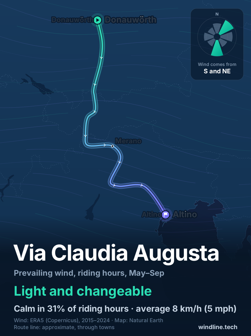
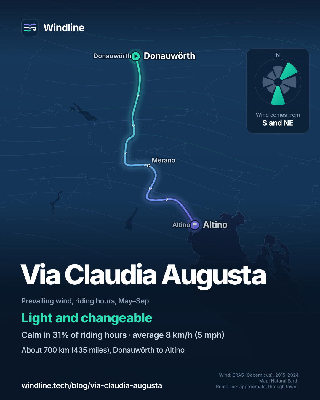
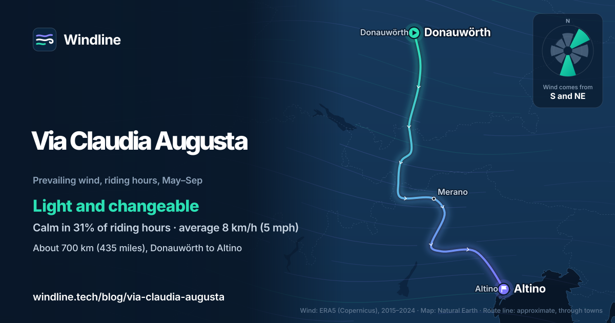
- Riding-hour wind averages 8–10 km/h (5–6 mph) all year, light and changeable.
- A bike shuttle runs back from Italy to Germany six days a week.
Definitions
- Altinate and Padana
- The two southern branches of the route, which split at Trento; the Altinate ends at Altino near Venice and the Padana at Ostiglia on the Po.
- Valley wind
- A light local wind that mountain valleys make for themselves, changing direction with the time of day.
What is the Via Claudia Augusta by bike?
It's a cycle route along a Roman road, from the Bavarian Danube over the Alps to the Adriatic. Shuttles over the passes make it one of the easiest Alpine crossings. It's one of Europe's 10 most popular cycling tours, and part of our guide to the world's great cycling routes.
| At a glance | Via Claudia Augusta |
|---|---|
| Length | About 700 km (435 miles) to Altino, or 650 km (404 miles) to Ostiglia |
| Countries | Germany, Austria and Italy, with a short stretch through Switzerland |
| Usual days | 10–14 |
| Surface | Almost all tarmac paths and quiet roads; forest tracks over the Fernpass |
| Signage | Mostly signposted; carry a guidebook or GPS |
| Climbs | Fernpass, about 250 m (820 ft) above Biberwier; Reschenpass, about 500 m (1,640 ft) above Pfunds |
| Best months | May to October |
Which sections do people ride?
The route body numbers its sections across four regions, and the route forks at Trento.
- Bavaria (sections 1–9): Donauwörth, Augsburg, Landsberg and Schongau along the Lech to Füssen.
- Tyrol (10–20): Reutte, the Fernpass, Imst and Landeck, then briefly into Switzerland and up to Nauders on the Reschenpass.
- Adige valley (20–31): down the Vinschgau to Merano, Bolzano and Trento.
- Two finishes: the Altinate branch to Altino near Venice, or the Padana branch to Ostiglia on the Po.
Short on time? The route body says Donauwörth to Bolzano takes 6–10 days, and Landeck to the Adriatic or the Po 6–11. To set your own stages, see how far you can cycle in a day.
Want this for your own route? Windline shows the wind for every stretch, timed to your pace. Free. Make a free ride page →
What's the weather like through the year?
Summer is mild and calm, but wet days are common: from May to August, 45–57% of days bring 1 mm or more of rain.
Weather across the year on the Via Claudia Augusta, 2015–2024
| Month | Wind from | Average wind, km/h (mph) | Gusty days | Start → high, °C (°F) | Wet days |
|---|---|---|---|---|---|
| Jan | ~Changeable | 9 (6) | 14% | -1° (29°) → 3° (37°) | 35% |
| Feb | ~Changeable | 9 (6) | 14% | 0° (32°) → 6° (42°) | 38% |
| Mar | ~Changeable | 10 (6) | 13% | 3° (37°) → 9° (47°) | 35% |
| Apr | ~Changeable | 10 (6) | 11% | 6° (43°) → 12° (54°) | 40% |
| May | ~Changeable | 9 (6) | 7% | 11° (52°) → 17° (62°) | 57% |
| Jun | ~Changeable | 8 (5) | 6% | 16° (61°) → 22° (71°) | 48% |
| Jul | ~Changeable | 8 (5) | 5% | 17° (63°) → 24° (75°) | 47% |
| Aug | ~Changeable | 8 (5) | 4% | 17° (62°) → 24° (74°) | 45% |
| Sep | NE, E | 8 (5) | 7% | 12° (54°) → 19° (66°) | 42% |
| Oct | ~Changeable | 9 (5) | 7% | 8° (47°) → 14° (57°) | 40% |
| Nov | ~Changeable | 9 (5) | 8% | 4° (38°) → 8° (46°) | 39% |
| Dec | ~Changeable | 9 (5) | 10% | 0° (32°) → 4° (40°) | 35% |
Riding-hour wind averages 8–10 km/h (5–6 mph) in every month, and gusty days fall from 14% in January and February to 4–6% from June to August. July runs from 17°C (63°F) at 08:00 to 24°C (75°F) at the warmest hour. May starts at 11°C (52°F) and October at 8°C (47°F), so pack a warm layer for the passes at either end of the season.
Which way should you ride it?
North to south, as the route body advises. The elevation profile is kinder southbound, some shuttles run one way only, and some sections are signposted only to the south.
The route body also says the commonest winds favour riding from Germany to Italy. Our data shows no steady wind either way. At our three sample points, the riding-hour wind is light and changeable in 11 months of 12. From May to September it's calm for 31% of riding hours and averages 8 km/h (5 mph). Mountain valleys make their own light winds, which turn with the time of day.
So let the profile and the signs decide. These are averages of past seasons, not a forecast: check yours, and see how windy is too windy to cycle.
How do you get there and back?
By train to Donauwörth or Augsburg, and by shuttle or train home from Italy.
- Trains: Donauwörth and Augsburg are intercity stations, and German and Austrian railways carry bikes.
- Return shuttle: the route body's bike shuttle from Italy to Germany runs six days a week, not Saturdays, from 11 boarding points. Early and late in the season a bus may not run every date, so book early.
- Italian trains: regional trains take bikes, but you can't reserve a place, and you'll change trains.
- Over the passes: a public bus carries bikes over the Fernpass (not e-bikes), another climbs from Pfunds to Nauders, and the Ausserfernbahn train links Reutte and Heiterwang in 9 minutes.
- Rooms: the route body says you needn't book ahead, except around 15 August in South Tyrol, Lake Garda, Verona and Venice.
Camping instead? Check the wild camping rules for Germany, Austria and Italy, then plan the stages.
Frequently asked questions
Is the Via Claudia Augusta hard to cycle?
Not with the shuttles. The route body says that, with its optional bike shuttles over the passes, it is no more difficult than a river cycle path and suits the average cyclist who rides from time to time. Its riders have ranged from 6 to 89 years old. The hard parts are the unpaved forest tracks over the Fernpass and the steep hairpins up to Nauders.
What bike do you need for the Via Claudia Augusta?
A touring or trekking bike is ideal, says the route body. Most of the route is paved, but a few gravel passages favour wider tyres. Riders on road bikes can avoid those passages on other roads, and the route body recommends the bike shuttle rather than the tight, busy Fernpass road. Tandems and fat bikes can't travel on the return shuttle.
Should you finish at Altino or Ostiglia?
It depends on where you want to end up. The Altinate branch, about 700 km (435 miles) in all, runs from Trento through the Valsugana, Feltre and Treviso to Altino, beside the Venice lagoon. The Padana branch, about 650 km (404 miles), runs by Rovereto and Verona to Ostiglia on the Po. Both have stations and return-shuttle stops.
Get the wind for your ride.
Upload a GPX, add your start time and pace, and see the headwind, gusts, rain and heat for every stretch of the route, timed to when you’ll be there. Free for riders.
Make a free ride page →Sources and method
- Via Claudia Augusta (2026). Cycling the Via Claudia Augusta
- Via Claudia Augusta (2026). Frequently asked questions (FAQs)
- Via Claudia Augusta (2026). Arrival and return journey by train and shuttle
- Via Claudia Augusta (2026). Bike shuttle Italy > Germany
- Via Claudia Augusta (2026). Shuttle over the passes
- Copernicus Climate Change Service (ECMWF) (2026). ERA5 hourly time-series data on single levels from 1940 to present
Route facts (length, branches, sections, surface, signage, passes, days, shuttles, trains and accommodation) come from the Via Claudia Augusta route body's own pages, opened on 10 October 2026. The route body gives no month range, so the shaded best months, May to October, are our reading of its notes: snow can lie on shady parts of the Fernpass in late April and early May, and it calls autumn a particularly rewarding time. The weather table is Windline's own analysis of hourly ERA5 reanalysis from the Copernicus Climate Change Service (ECMWF), 1 January 2015 to 31 December 2024, downloaded from the Copernicus Climate Data Store (dataset reanalysis-era5-single-levels-timeseries), for riding hours 08:00 to 17:00 local time, pooled over three sample points along the route (Donauwörth, Merano and Altino) using the nearest 0.25° grid cell. Wind is at 10 m (33 ft); its direction is the commonest two of eight compass sectors, and hours under 5 km/h (3 mph) count as calm. A month is light and changeable when the two commonest directions are not neighbours and the hours barely agree on a direction. A gusty day has a riding-hour gust of 50 km/h (31 mph) or more; a wet day has 1 mm or more of rain; start is the temperature at 08:00 and high is the warmest riding hour. ERA5 averages each grid cell, about 25–30 km (16–19 miles) across, so it smooths out passes, valleys and local gusts. These are averages of past seasons, not forecasts. Conversions use 1 mile = 1.609 km and 1 ft = 0.3048 m, rounded. Credit: contains modified Copernicus Climate Change Service information (ERA5, 2015–2024); neither the European Commission nor ECMWF is responsible for any use of this information.
About the author
Wes Thomson, Founder, Windline. Wes Thomson builds Windline, live wind and weather forecasts timed to when riders reach each stretch of road. He built it for his own 2,093 km tour from Pont Drift to Cape Town, and writes these guides with the same focus: what the wind will do to your ride, and how to plan around it.