The Camino de Santiago by bike: the Camino Francés, rules and weather
Plan the Camino Francés on a bike, from the Compostela rules and albergues to the wind, rain and heat in every month.
The short answer
The Camino de Santiago by bike usually means the Camino Francés: about 800 km (497 miles) from Roncesvalles to Santiago de Compostela, waymarked with yellow arrows. Most riders take 10 to 13 days. For the Compostela, cyclists must ride at least the last 200 km (124 miles) and get their credencial stamped at each stage's start and end.
Key takeaways
- The Camino Francés runs about 800 km (497 miles) from Roncesvalles, across northern Spain, to Santiago.
- Cyclists need at least the last 200 km (124 miles) for the Compostela, twice the walkers' distance.
- Galicia's public albergues take walkers before cyclists and accept no reservations.
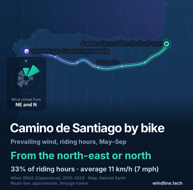
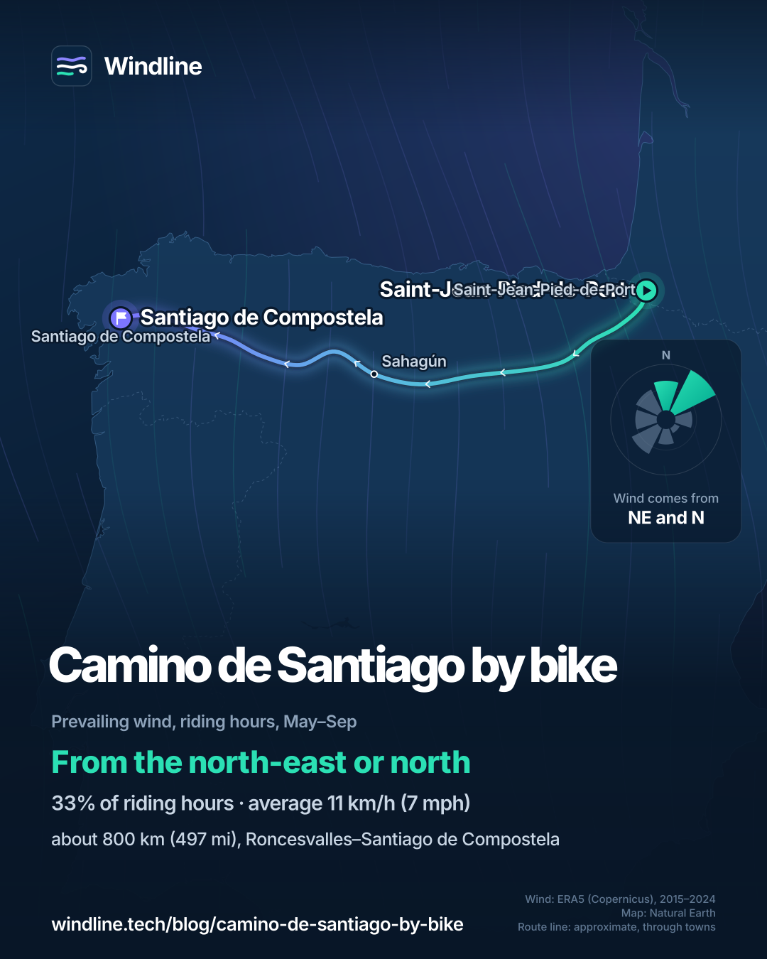
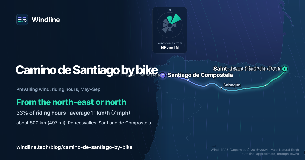
- From June to August the wind most often comes from the north-east or north.
Definitions
- Credencial
- The pilgrim's record, stamped along the way, that the Pilgrim's Office checks before it issues the Compostela.
- Compostela
- The certificate the Cathedral of Santiago gives pilgrims who complete the minimum distance for religious or spiritual reasons.
What is the Camino de Santiago by bike?
Riding the Camino de Santiago by bike usually means the Camino Francés, the French Way, across northern Spain to the cathedral in Santiago de Compostela. It's a pilgrimage first, shared with walkers.
It's one of the long classics in our best cycling routes in Europe, and part of our guide to the world's great cycling routes.
| At a glance | Camino Francés |
|---|---|
| Length | About 800 km (497 miles) from Roncesvalles |
| Country | Spain (many start in Saint-Jean-Pied-de-Port, France) |
| Usual days | 10–13 (our estimate at 60–80 km, or 37–50 miles, a day) |
| Surface | Roads, and gravel pilgrim paths shared with walkers |
| Signage | Yellow arrows on walls, posts and the ground |
| Best months | Spring, and September to October |
Spain's tourism board gives the 800 km figure from Roncesvalles. It also lists a branch from Somport in Aragón, which joins at Puente la Reina.
Which sections do people ride?
The route crosses four regions: Navarre, La Rioja, Castile and León, and Galicia. The towns on the way include Pamplona, Logroño, Burgos, León, Astorga and Ponferrada.
- The Pyrenees. From Saint-Jean-Pied-de-Port the route climbs over the mountains to Roncesvalles.
- The Meseta. Between Burgos and León the land opens into a high plateau with little shade.
- Into Galicia. The climb to O Cebreiro leads into green, rolling country through Portomarín, Melide and Arzúa.
Where the pilgrim path is rough or crowded, a parallel road is often the better choice on a bike. On shared paths, slow down and ring early.
Want this for your own route? Windline shows the wind for every stretch, timed to your pace. Free. Make a free ride page →
What's the weather like through the year?
Summer is the calmest and driest time, and winter the windiest and wettest.
Weather across the year on the Camino de Santiago (Camino Francés), 2015–2024
| Month | Wind from | Average wind, km/h (mph) | Gusty days | Start → high, °C (°F) | Wet days |
|---|---|---|---|---|---|
| Jan | SW, S | 13 (8) | 22% | 4° (40°) → 10° (50°) | 41% |
| Feb | SW, S | 13 (8) | 24% | 5° (41°) → 12° (54°) | 40% |
| Mar | ~Changeable | 14 (9) | 28% | 6° (43°) → 14° (57°) | 46% |
| Apr | ~Changeable | 12 (8) | 18% | 8° (46°) → 16° (62°) | 45% |
| May | ~Changeable | 12 (7) | 13% | 11° (51°) → 20° (67°) | 41% |
| Jun | NE, N | 11 (7) | 6% | 14° (57°) → 23° (73°) | 42% |
| Jul | NE, N | 11 (7) | 5% | 16° (61°) → 26° (79°) | 24% |
| Aug | NE, N | 10 (6) | 5% | 16° (60°) → 26° (79°) | 25% |
| Sep | ~Changeable | 11 (7) | 10% | 13° (56°) → 23° (73°) | 34% |
| Oct | S, SW | 12 (8) | 20% | 11° (52°) → 19° (66°) | 40% |
| Nov | SW, S | 13 (8) | 21% | 8° (46°) → 14° (56°) | 48% |
| Dec | S, SW | 12 (8) | 21% | 6° (43°) → 11° (53°) | 40% |
From June to August the wind most often comes from the north-east or north, averaging 10–11 km/h (6–7 mph), and only 5–6% of days are gusty. From October to February it swings to the south or south-west, and 20–24% of days are gusty. March to May and September are changeable in direction. Wet days fall from 48% in November to 24% in July, while July and August highs average 26°C (79°F). The Meseta has little shade, so read our guide to cycling in the heat.
Which way should you ride it?
West, to Santiago. The pilgrimage sets the direction, so the wind question is what westbound riders usually meet, not which way to go.
From May to September the riding-hour wind most often comes from the north-east or north (33% of hours), averaging 11 km/h (7 mph), and it's calm 17% of the time. For a westbound rider, that wind usually comes from behind or over the right shoulder. From October to February the south and south-west winds turn that into more headwind and crosswind.
These are averages of past seasons, not a forecast, so check the wind for your own days. Our guide to prevailing winds on the great routes explains how to read them.
What are the rules and practicalities for cyclists?
You need a credencial, at least 200 km (124 miles) of riding for the Compostela, and flexible nights.
- The Compostela. The Pilgrim's Office asks cyclists to complete at least the last 200 km (124 miles), against 100 km (62 miles) on foot. You must get your credencial stamped at the start and end of each stage, with the date, even if you stamped it in the same place the night before.
- Albergues. In Galicia's public network, 76 hostels with over 3,000 places, beds go on arrival with no reservations. Priority runs: pilgrims with physical limitations, walkers, riders on horseback, then cyclists. A night costs 10 euros (as of October 2026).
- Getting to the start. Regional line 54 runs from Bayonne to Saint-Jean-Pied-de-Port.
Book a few nights ahead in hotels or guesthouses on busy dates, and plan your stages around the towns.
Frequently asked questions
Where do you get a pilgrim's credencial for a bike pilgrimage?
From the Pilgrim's Office in Santiago, or from bodies the cathedral authorises to hand them out, such as parish churches, Friends of the Camino associations, pilgrim hostels and confraternities. The office says stamps are usually collected where you sleep, but churches, monasteries, hotels and town halls give them too. A digital version also exists for Android and iOS.
What if you ride the Camino but don't qualify for the Compostela?
You can still ask the Pilgrim's Office for a certificate of distance. The cathedral chapter issues it to certify the kilometres you travelled, whatever your starting point, with your start date, arrival date and route on it. It costs 3 euros (as of October 2026), and pilgrims who made their journey in an earlier year can request one too.
Can you take a bike on the train to Saint-Jean-Pied-de-Port?
Yes. Saint-Jean-Pied-de-Port is the end of regional line 54 from Bayonne in France. The Nouvelle-Aquitaine region says bikes ride free on its TER trains in the marked spaces. From 1 May to 27 September 2026 it required a 3-euro bike booking on 11 busier lines, and line 54 wasn't one of them. Space is limited, so travel early.
Get the wind for your ride.
Upload a GPX, add your start time and pace, and see the headwind, gusts, rain and heat for every stretch of the route, timed to when you’ll be there. Free for riders.
Make a free ride page →Sources and method
- Pilgrim's Office, Santiago de Compostela (2026). The Compostela
- Pilgrim's Office, Santiago de Compostela (2026). The Credencial
- Pilgrim's Office, Santiago de Compostela (2026). Certificate of distance
- Spain Tourism (Turespaña) (2026). The French Way, Camino de Santiago
- Xunta de Galicia (S.A. de Xestión do Plan Xacobeo) (2026). La red de albergues públicos
- Région Nouvelle-Aquitaine (2026). Vélos et trains
- Béarn Pays Basque tourism (Tourisme 64) (2026). Comment se déplacer une fois dans le Béarn Pays Basque
- Copernicus Climate Change Service (ECMWF) (2026). ERA5 hourly time-series data on single levels from 1940 to present
Route facts come from the official bodies in the sources, opened on 10 October 2026: the length, towns, regions, waymarking and best season from Spain's tourism board (it gives about 800 km from Roncesvalles; its header figure of 930 km and about 32 stages appears to include the longer Somport branch); the Compostela, credencial and certificate rules from the Pilgrim's Office; the albergue rules and price from the Xunta de Galicia's Camino site; trains from the Nouvelle-Aquitaine region and its Pyrénées-Atlantiques tourism body. The best months shaded in the table are the board's "spring months" (read as March to May) and September to October. The 10–13 days are our estimate at 60–80 km (37–50 miles) a day. Weather table and wind: Windline's own analysis of ERA5 reanalysis from the Copernicus Climate Change Service, 1 January 2015 to 31 December 2024, downloaded from the Copernicus Climate Data Store, for riding hours 08:00 to 17:00 local time at three sample points along the route (Saint-Jean-Pied-de-Port, Sahagún and Santiago de Compostela), using the nearest 0.25° grid cell. Wind is 10 m (33 ft) wind; the direction is the commonest two of eight compass sectors, and hours under 5 km/h (3 mph) count as calm; months where the directions barely agree are called changeable in direction. A gusty day has a riding-hour gust of 50 km/h (31 mph) or more; a wet day has 1 mm or more of rain; start is the 08:00 temperature and high is the warmest riding hour. The May–September prevailing wind is the same analysis over those months. These are averages of past seasons, not forecasts. Contains modified Copernicus Climate Change Service information (ERA5, 2015–2024); neither the European Commission nor ECMWF is responsible for any use of this information. Conversions use 1 mile = 1.609 km, rounded.
About the author
Wes Thomson, Founder, Windline. Wes Thomson builds Windline, live wind and weather forecasts timed to when riders reach each stretch of road. He built it for his own 2,093 km tour from Pont Drift to Cape Town, and writes these guides with the same focus: what the wind will do to your ride, and how to plan around it.