The Western Cape Passes by bike: route, weather and which way to ride
Plan South Africa's Western Cape Passes gravel route section by section, with the weather for every month and the road closures to check.
The short answer
The Western Cape Passes is a 761 km (473 mile) bikepacking route across South Africa's Cape Fold Mountains, from Barrydale to Jeffreys Bay, usually ridden in 9 days. It's 81% unpaved and crosses more than 15 passes, including the Swartberg. Ride it from mid-September to November or in April and May; April and May were calmer.
Key takeaways
- 761 km (473 miles) of mostly gravel over more than 15 passes, in about 9 days.
- April and May had fewer gusty days than October and November.
- Meiringspoort, on the route, is closed after flood damage; a temporary road is due by December 2026.
- Cyclists need permission and a support vehicle in the Baviaanskloof.
Definitions
- Poort
- A gap where a river cuts through a mountain range, often with a road along it.
- Klein Karoo
- The dry valley country between the Swartberg and the coastal mountains, also called the Little Karoo.
- Prevailing wind
- The wind direction that blows most often at a place over many years; it tells you what to expect, not what you'll get.
What is the Western Cape Passes route?
It's a 761 km (473 mile) gravel route through South Africa's Cape Fold Mountains, over and through more than 15 named passes and poorts. Its makers at BIKEPACKING.com rode it in 9 days. It's one of our 10 most popular cycling tours in Africa, in our guide to the world's great cycling routes.
| The route at a glance | |
|---|---|
| Length | 761 km (473 miles), Barrydale to Jeffreys Bay |
| Country | South Africa: Western Cape and Eastern Cape |
| Usual days | 9 |
| Surface | 81% unpaved, mostly gravel and dirt roads; no singletrack |
| Climbing | 11,948 m (39,200 ft); high point 1,524 m (5,000 ft) |
| Signage | None of its own; you follow the published GPX |
| Best months | Mid-September to November, April and May |
Which sections do people ride?
The published line falls into five parts, each built around a pass or a kloof (valley). Distances are our measurements of the route's map.
| Section | About | Highlights |
|---|---|---|
| Barrydale to Calitzdorp | 143 km (89 miles) | Route 62 towns of the Klein Karoo, Rooiberg Pass |
| Calitzdorp to Prince Albert | 75 km (47 miles) | The Swartberg Pass, the high point |
| Prince Albert to George | 147 km (91 miles) | Meiringspoort to De Rust, then the Montagu Pass |
| George to Uniondale | 152 km (94 miles) | Knysna on the Garden Route, Prince Alfred's Pass |
| Uniondale to Jeffreys Bay | 245 km (152 miles) | The Baviaanskloof, then the coast |
The Swartberg Pass is 23.8 km (15 miles) of gravel, a national monument that South African History Online calls Thomas Bain's best piece of road building.
Two things to check first. Meiringspoort, between Klaarstroom and De Rust, lost four whole sections of road in floods; the Western Cape Government expects a temporary road by December 2026, with strict access controls. Until then, plan another way south. And in the Baviaanskloof, cyclists need permission and a support vehicle.
Want this for your own route? Windline shows the wind for every stretch, timed to your pace. Free. Make a free ride page →
What's the weather like through the year?
Spring and autumn miss the summer heat, and autumn was the calmer of the two.
Weather across the year on the Western Cape Passes, Barrydale to Jeffreys Bay, 2015–2024
| Month | Wind from | Average wind, km/h (mph) | Gusty days | Start → high, °C (°F) | Wet days |
|---|---|---|---|---|---|
| Jan | SE, E | 17 (10) | 25% | 21° (69°) → 26° (78°) | 26% |
| Feb | SE, SW | 16 (10) | 17% | 20° (68°) → 25° (78°) | 28% |
| Mar | SW, SE | 14 (9) | 11% | 18° (65°) → 24° (76°) | 29% |
| Apr | ~Changeable | 13 (8) | 11% | 15° (59°) → 22° (72°) | 22% |
| May | W, SW | 12 (7) | 8% | 13° (55°) → 21° (70°) | 19% |
| Jun | W, N | 13 (8) | 17% | 11° (52°) → 19° (66°) | 23% |
| Jul | W, NW | 14 (8) | 17% | 10° (50°) → 18° (64°) | 25% |
| Aug | W, SW | 14 (9) | 16% | 11° (51°) → 18° (65°) | 25% |
| Sep | SW, W | 15 (9) | 18% | 13° (56°) → 19° (67°) | 27% |
| Oct | SW, E | 16 (10) | 23% | 16° (61°) → 21° (70°) | 26% |
| Nov | SW, SE | 16 (10) | 24% | 18° (64°) → 22° (72°) | 25% |
| Dec | SE, SW | 17 (10) | 27% | 20° (67°) → 24° (76°) | 27% |
In April and May, the riding-hour wind averaged 12–13 km/h (7–8 mph), and only 8–11% of days were gusty; April's wind was changeable in direction. October and November averaged 16 km/h (10 mph), with 23–24% of days gusty. Through the best months, mornings started at 13–18°C (55–64°F), highs reached 21–22°C (70–72°F), and 19–26% of days were wet. Inland runs hotter: the route's makers met 43°C (110°F) in a December heatwave.
Which way should you ride it?
West to east, as published, is a sensible default: in the best months, neither direction had a clear wind advantage.
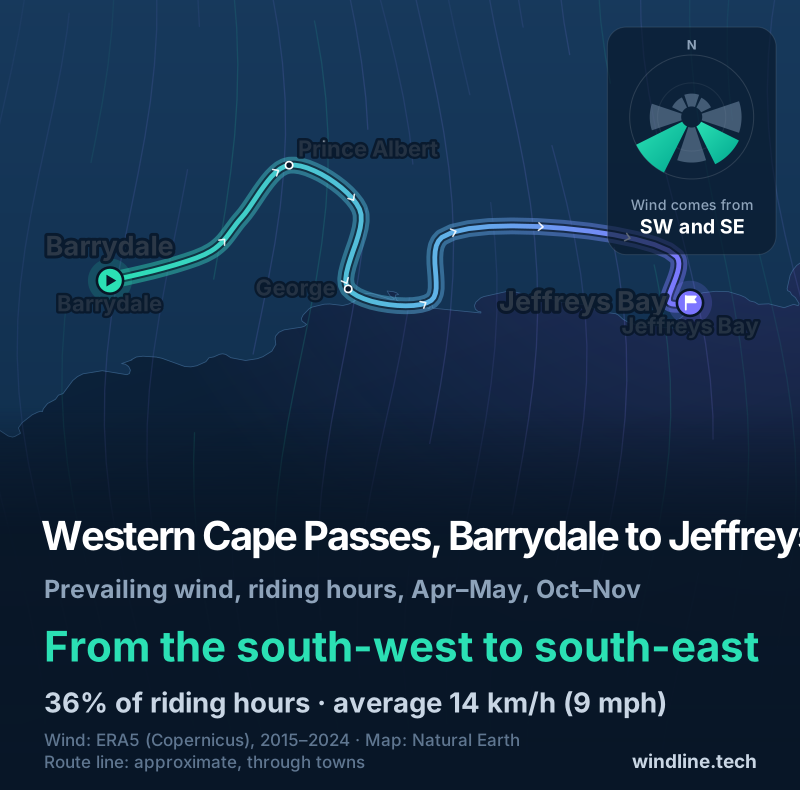
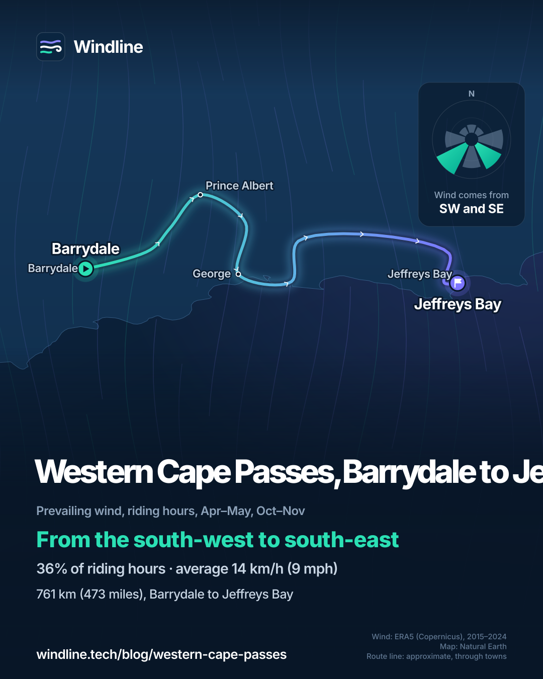
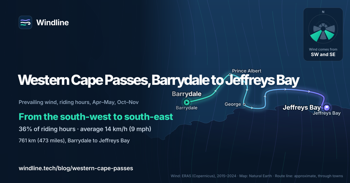
Across April, May, October and November riding hours in 2015–2024, the wind blew from between south-west and south-east half the time (50%). Westerly winds made up 37% of hours and easterly ones 36%, and 9% were calm. The average was 14 km/h (9 mph). May, the calmest month, leaned westerly, which helps an eastbound rider.
The route zigzags: a south wind pushes you north over the Swartberg, then meets you head-on heading south to George. These are past averages, not a forecast; see how much a headwind slows you down.
How do you get there and back?
Fly in to Cape Town International for the start; the route's makers rode out from Cape Town. The route passes through George, whose airport sits halfway between Cape Town and Gqeberha, so it's a good place to split the trip in two. At the end, Chief Dawid Stuurman International serves Gqeberha (formerly Port Elizabeth), east along the coast from Jeffreys Bay.
Read your own government's travel advice before you book.
Like long gravel days? Try the Lesotho Traverse next door, or North America's Great Divide.
Frequently asked questions
Can you cycle through the Baviaanskloof without a support vehicle?
No. The Eastern Cape Parks and Tourism Agency, which runs the Baviaanskloof World Heritage Site, lists cycling with permission granted and a support vehicle compulsory. The route's makers say the reason is a small population of Cape buffalo, which have charged pedestrians and cyclists. Contact the agency well before your trip, and plan the day with your driver.
Is the Swartberg Pass open?
It reopened in June 2026 after flood repairs, according to the Western Cape Government. In August it had stop-and-go traffic control for repairs, and it's carrying significantly more traffic while Meiringspoort is closed. It isn't built for heavy vehicles, which must go round. Check the province's road news in the week you ride, and expect more cars than the route's makers met.
Where do you sleep and find water on the Western Cape Passes?
Mostly on farms and in small towns. The route's makers say a local farmer will usually let you camp, and larger towns have backpackers (hostels) and a few campgrounds. Water can be tricky in the drier Klein Karoo, so ask at farms. Small-town stores sell basics and stove fuel. See our [food and water guide](/blog/bikepacking-food-and-water/).
Get the wind for your ride.
Upload a GPX, add your start time and pace, and see the headwind, gusts, rain and heat for every stretch of the route, timed to when you’ll be there. Free for riders.
Make a free ride page →Sources and method
- BIKEPACKING.com (2026). Western Cape Passes Epic, bikepacking South Africa
- Ride with GPS (map published with the BIKEPACKING.com route) (2026). Western Cape Passes Gravel Epic
- Eastern Cape Parks and Tourism Agency (Visit Eastern Cape) (2026). Baviaanskloof World Heritage Site
- Western Cape Government (2026). Temporary reinstatement will see Meiringspoort reopen December 2026
- Western Cape Government (2026). Premier Winde concludes storm recovery oversight visit to Central Karoo and Cape Winelands
- Western Cape Government (2026). Swartberg Pass undergoing repairs and maintenance
- South African History Online (2026). Swartberg Mountain Pass
- Airports Company South Africa (2026). George Airport
- Airports Company South Africa (2026). Chief Dawid Stuurman International Airport
- UK Foreign, Commonwealth & Development Office (2026). Foreign travel advice
- Copernicus Climate Change Service (ECMWF) (2026). ERA5 hourly data on single levels from 1940 to present
- Copernicus Climate Change Service (ECMWF) (2026). ERA5 hourly time-series data on single levels from 1940 to present
Route facts are the route makers' own figures on BIKEPACKING.com (length 761 km, 9 days, 81% unpaved, 0% singletrack, 100% rideable, 11,948 m of climbing, high point 1,524 m, difficulty 7 of 10, best months), read on 10 October 2026, and match our Africa list. The route page names no start or finish: Barrydale and Jeffreys Bay are the two ends of the line on its published Ride with GPS map. The section lengths are our own approximate measurements along that published map (762 km in all), rounded; the passes named in each section are those the line crosses, matched to Wikipedia coordinates. Best months are the route page's "spring (mid-September to November) and autumn (April and May)"; because mid-September is half a month, our weather figures and best_months use April, May, October and November, as in our Africa list. Road closures are from the Western Cape Government's statements of 16 July, 19 July and 6 August 2026, and Baviaanskloof rules from the Eastern Cape Parks and Tourism Agency's page, both read on 10 October 2026. Weather across the year: Windline's own analysis of hourly ERA5 reanalysis (Copernicus Climate Change Service, ECMWF), 1 January 2015 to 31 December 2024, downloaded from the Copernicus Climate Data Store, at three sample points along the route (Barrydale, George and Jeffreys Bay, nearest 0.25° grid cell), pooled. Riding hours are 08:00 to 17:00 local time. Wind is 10 m (33 ft) wind; the directions shown are the two commonest of eight compass sectors, and months when the hours barely agree on a direction are shown as changeable; hours under 5 km/h (3 mph) count as calm. A gusty day has a riding-hour gust of 50 km/h (31 mph) or more; a wet day has 1 mm or more of rain; start is the 08:00 temperature and high is the warmest riding hour. The direction figures use April, May, October and November riding hours together; westerly means the south-west, west and north-west sectors, easterly the north-east, east and south-east sectors. These are averages of past seasons, not forecasts. Contains modified Copernicus Climate Change Service information (ERA5, 2015–2024); neither the European Commission nor ECMWF is responsible for any use of this information. The map's route line joins town centres in riding order; it is approximate and not an official route. Conversions use 1 mile = 1.609 km, 1 m = 3.281 ft and °F = °C × 1.8 + 32, rounded.
About the author
Wes Thomson, Founder, Windline. Wes Thomson builds Windline, live wind and weather forecasts timed to when riders reach each stretch of road. He built it for his own 2,093 km tour from Pont Drift to Cape Town, and writes these guides with the same focus: what the wind will do to your ride, and how to plan around it.