Cycling Nyika National Park: the plateau ride, weather and elephants
Plan the dirt ride from Rumphi up to Malawi's Nyika Plateau with its weather by month, the prevailing wind, elephants and park rules.
The short answer
Cycling Nyika National Park means a 227 km (141-mile) out-and-back on dirt from Rumphi, in northern Malawi, up to grassland at 2,390 m (7,842 ft). The route's maker allows three days and 3,180 m (10,432 ft) of climbing. Go in the May to November dry season, and ask the rangers about elephants before you ride in.
Key takeaways
- It's 227 km (141 miles) of dirt, out and back from Rumphi to the Chelinda plateau.
- Elephants live in the forest inside the park gate; ask the rangers before riding through.
- June and July were the driest months in our data, with 3–4% of days wet.
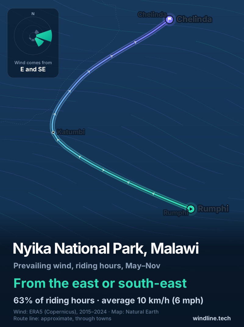
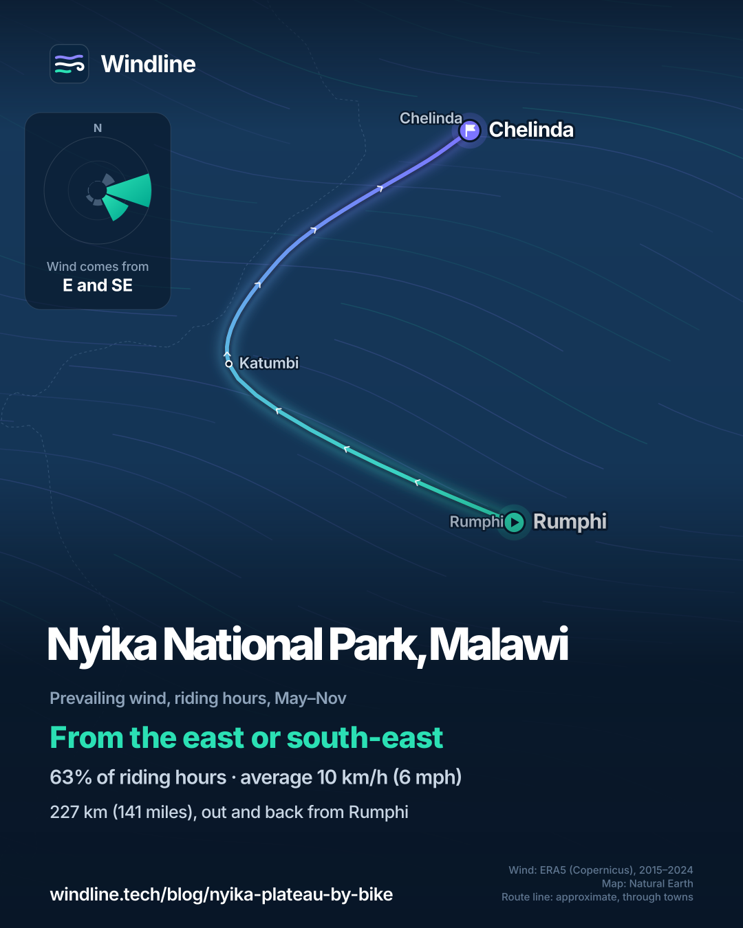
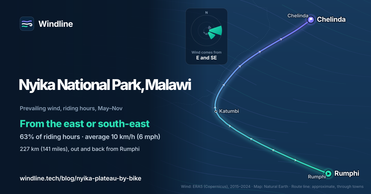
- From May to November, riding-hour winds came most often from the east or south-east.
Definitions
- Out and back
- A route that turns round at its far end and returns the same way, so you ride every stretch in both directions.
What is the Nyika Plateau ride?
It's a 227 km (141-mile) dirt-road ride from Rumphi, in northern Malawi, into Nyika National Park and up to the grassland around Chelinda, then back the same way. Nyika is Malawi's largest national park, 3,134 km² (1,210 sq miles) of high plateau on the Zambian border. It's the shortest of our 10 most popular cycling tours in Africa, and part of our guide to the world's great cycling routes.
| The route at a glance | |
|---|---|
| Length | 227 km (141 miles), out and back from Rumphi |
| Country | Malawi (Northern Region) |
| Usual days | 3 (the route maker's figure) |
| Surface | All unpaved; one rough dirt road in |
| Climbing | 3,180 m (10,432 ft); high point 2,390 m (7,842 ft) |
| Signage | None; ride with the route maker's map |
| Best months | May to November (dry season) |
Which sections do people ride?
Most of the distance is the climb up and the ride back down.
- Rumphi to the park gate. Dirt through villages and over escarpments. BIKEPACKING.com's riders took a day, camping at the gate.
- The gate to Chelinda. A long climb through forest, home to elephants for the first 20–30 km (12–19 miles), then out onto open grassland.
- On the plateau. Over 120 km (75 miles) of rough safari track, with zebra, roan antelope and eland.
- Back to Rumphi, the same way.
Their 2014 trip took six days, two of them on the plateau.
Want this for your own route? Windline shows the wind for every stretch, timed to your pace. Free. Make a free ride page →
What's the weather like through the year?
The dry season is the time to go: rain almost stops from June to September, and the wind builds from August.
Weather across the year on the Nyika Plateau route, 2015–2024
| Month | Wind from | Average wind, km/h (mph) | Gusty days | Start → high, °C (°F) | Wet days |
|---|---|---|---|---|---|
| Jan | W, NW | 6 (4) | 4% | 20° (67°) → 23° (74°) | 95% |
| Feb | W, NW | 6 (3) | 3% | 20° (68°) → 24° (76°) | 89% |
| Mar | ~Changeable | 6 (3) | 1% | 20° (67°) → 24° (76°) | 92% |
| Apr | E, SE | 7 (5) | 0% | 19° (67°) → 24° (75°) | 76% |
| May | E, SE | 8 (5) | 0% | 18° (64°) → 24° (74°) | 17% |
| Jun | SE, E | 8 (5) | 0% | 16° (60°) → 23° (73°) | 4% |
| Jul | SE, E | 9 (6) | 2% | 15° (60°) → 23° (73°) | 3% |
| Aug | E, SE | 10 (6) | 5% | 18° (64°) → 25° (77°) | 3% |
| Sep | E, SE | 12 (7) | 10% | 21° (69°) → 27° (81°) | 3% |
| Oct | E, SE | 12 (7) | 13% | 23° (73°) → 29° (84°) | 14% |
| Nov | E, NE | 10 (6) | 6% | 23° (74°) → 28° (83°) | 38% |
| Dec | E, NE | 6 (4) | 2% | 21° (71°) → 26° (78°) | 81% |
From May to July, the riding-hour wind averaged 8–9 km/h (5–6 mph). June and July were driest, with 3–4% of days wet; mornings started at 15–16°C (60°F) and warmed to 23°C (73°F). In September and October the wind averaged 12 km/h (7 mph), and 10–13% of days were gusty. From December to March, 81–95% of days were wet. ERA5 smooths out the plateau, so expect it cooler on top than the table shows.
Does the wind help on the way in or the way out?
Mostly it evens out, because you ride every stretch both ways. From May to November, riding-hour winds came from the east or south-east 63% of the time, averaging 10 km/h (6 mph); 17% of hours were calm.
The road heads north-west from Rumphi, so that wind is usually behind you on the first leg. On the climb north-east to Chelinda, it's side-on or slightly against you. The last leg home into Rumphi points into it, though you're losing height.
The bigger choice is when. Winds were lightest from May to July, and stronger and gustier by September and October. A headwind costs more than a tailwind gives back. These are averages of past seasons, not a forecast.
What should you know before you go?
Check the rules, the elephants and your food before you leave Rumphi.
- Travel advice. Read your own government's travel advice for Malawi before you book, and again before you leave. The UK's says the November–April rains can make road travel difficult.
- Park rules. Malawi's Department of National Parks and Wildlife co-manages Nyika with Peace Parks Foundation, under a 20-year agreement signed in 2023, through the Nyika-Vwaza Trust. We found no visitor rules or fees published online by either, so contact the Trust before you travel.
- Elephants. BIKEPACKING.com warns they can be aggressive towards cyclists; ask the rangers about recent sightings before entering the forest.
- Food and nights. Stock up in Mzuzu or Rumphi, and see our food and water guide. Small stores near the park boundary sell basics. In 2014 the ranger let riders camp just inside the gate, and there was a campground on the plateau.
Like remote, high dirt roads? North America's Great Divide Mountain Bike Route is the long version.
Frequently asked questions
Is cycling allowed in Nyika National Park?
BIKEPACKING.com's route notes say it is, citing a Malawi guidebook from 2012, and its riders cycled to Chelinda and around the plateau in 2014. We found no current visitor rules published online by the park's managers, so confirm with the Nyika-Vwaza Trust before you travel, and speak to the rangers at the gate when you arrive.
What kind of bike do you need for Nyika?
A sturdy mountain bike or wide-tyred gravel bike with low gears. The route is entirely unpaved, climbs 3,180 m (10,432 ft), and its maker rates it 9 out of 10 for difficulty. BIKEPACKING.com says the road in is passable only by a solid 4×4 or a solid bicycle.
Can you ride Nyika in the rainy season?
It's hard going. In our 2015–2024 data, 81–95% of days from December to March were wet. The UK government's travel advice says Malawi's rainy season, November to April, can make road travel difficult. The route's maker recommends the dry season, May to November.
Get the wind for your ride.
Upload a GPX, add your start time and pace, and see the headwind, gusts, rain and heat for every stretch of the route, timed to when you’ll be there. Free for riders.
Make a free ride page →Sources and method
- BIKEPACKING.com (2026). Cycling Nyika National Park, Malawi (route guide)
- BIKEPACKING.com (2014). Cycling Nyika National Park: a 250km dirt safari (trip report)
- Ride with GPS (map published with the BIKEPACKING.com route) (2026). Cycling Nyika National Park
- Nyika-Vwaza Trust (2026). About the Trust
- Nyika-Vwaza Trust (2026). Contact
- Peace Parks Foundation (2026). Malawi-Zambia Transfrontier Conservation Area
- UK Foreign, Commonwealth & Development Office (2026). Malawi travel advice: safety and security
- Wikipedia (2026). Nyika National Park
- Copernicus Climate Change Service (ECMWF) (2026). ERA5 hourly time-series data on single levels from 1940 to present
- Copernicus Climate Change Service (ECMWF) (2026). ERA5 hourly data on single levels from 1940 to present
- Natural Earth (2026). Terms of use (public domain map data)
Route facts (length, days, share unpaved, climbing, high point, difficulty, best months, elephants, food and camping) are from the route's maker on BIKEPACKING.com and its 2014 trip report, read on 10 October 2026; the length and climbing match the route's published Ride with GPS map (227.2 km, 3,180 m gained). The trip report and the route notes date from 2014, and the note that cycling is permitted comes from a 2012 guidebook, so we tell readers to confirm the rules. Park management (the 2023 co-management agreement between the Government of Malawi and Peace Parks Foundation, and the Nyika-Vwaza Trust established in 2025) is from Peace Parks Foundation and the Trust's own site; neither published visitor rules or fees online on 10 October 2026. The park's area, the Thazima gate and the Zambian border are from Wikipedia. Best months are the route maker's dry season, May to November. Weather across the year: Windline's own analysis of hourly ERA5 reanalysis (Copernicus Climate Change Service, ECMWF), 1 January 2015 to 31 December 2024, downloaded from the Copernicus Climate Data Store, at three sample points along the route (Rumphi, Katumbi and Chelinda, nearest 0.25° grid cell), pooling hours and days across the points. Riding hours are 08:00 to 17:00 local time. Wind is 10 m (33 ft) wind; directions are the commonest two of eight compass sectors, and months when the hours barely agree on a direction are shown as changeable; hours under 5 km/h (3 mph) count as calm. A gusty day has a riding-hour gust of 50 km/h (31 mph) or more; a wet day has 1 mm or more of rain; start is the 08:00 temperature and high is the warmest riding hour. The prevailing wind is for May to November riding hours. ERA5 cells are about 25–30 km (16–19 miles) across, so they smooth out the plateau and its slopes. The direction reading compares that wind with the road's rough heading (north-west from Rumphi, then north-east up to Chelinda, and the reverse on the way back); it is our reading, not an official recommendation. These are averages of past seasons, not forecasts. Contains modified Copernicus Climate Change Service information (ERA5, 2015–2024); neither the European Commission nor ECMWF is responsible for any use of this information. The map's route line joins places along the road in riding order, drawn one way; it is approximate and not an official route. Basemap from Natural Earth (public domain). Conversions use 1 mile = 1.609 km, 1 m = 3.281 ft and °F = °C × 1.8 + 32, rounded; climbing and high point in feet are the route maker's.
About the author
Wes Thomson, Founder, Windline. Wes Thomson builds Windline, live wind and weather forecasts timed to when riders reach each stretch of road. He built it for his own 2,093 km tour from Pont Drift to Cape Town, and writes these guides with the same focus: what the wind will do to your ride, and how to plan around it.